
PUTTING “DUAL” INTO DUALSPORT:
LOCKWOOD LOOP A
What..........................Dualsport Ride, full day
When......Meet Sunday, 5 November, 7:00 AM
Where.......Meet @ BMW Ventura parking lot
Price...................You might need a $5 bill…
Contact.......Laine_MacTague@verizon.net
When......Meet Sunday, 5 November, 7:00 AM
Where.......Meet @ BMW Ventura parking lot
Price...................You might need a $5 bill…
Contact.......Laine_MacTague@verizon.net
DS RIDE 03: RECAP
Sunday was a rich and varied sampling of back roads and unpaved stretches circumnavigating the Sespe
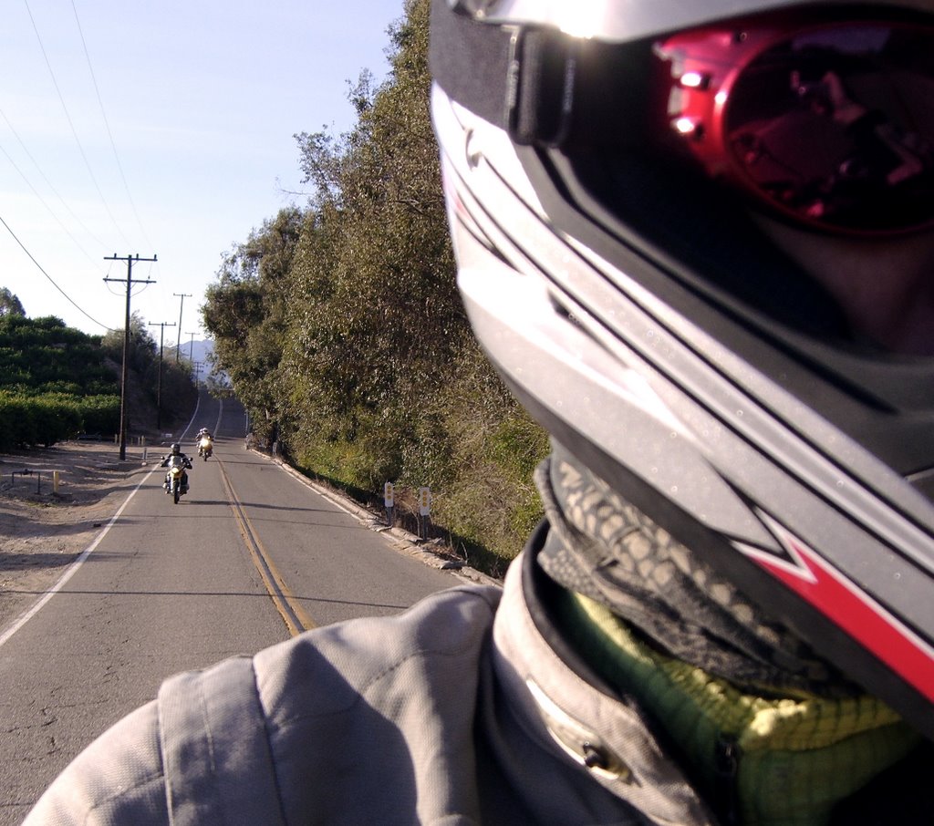 Wilderness, much of which recently burned during the Day Fire. Some fine unpaved forest roads in the area of the fire are now closed
  and will likely remain so until next summer. However, we made good use of what the area still has to offer. The ride began, pleasingly and predictably enough, with several miles of Ventura County back roads: We followed deserted roads winding through orchards and past horse ranches; twisting down canyons, our line of riders flowed around the broad curves along the base of a line of hills following the Santa Clara River.
Pretty soo
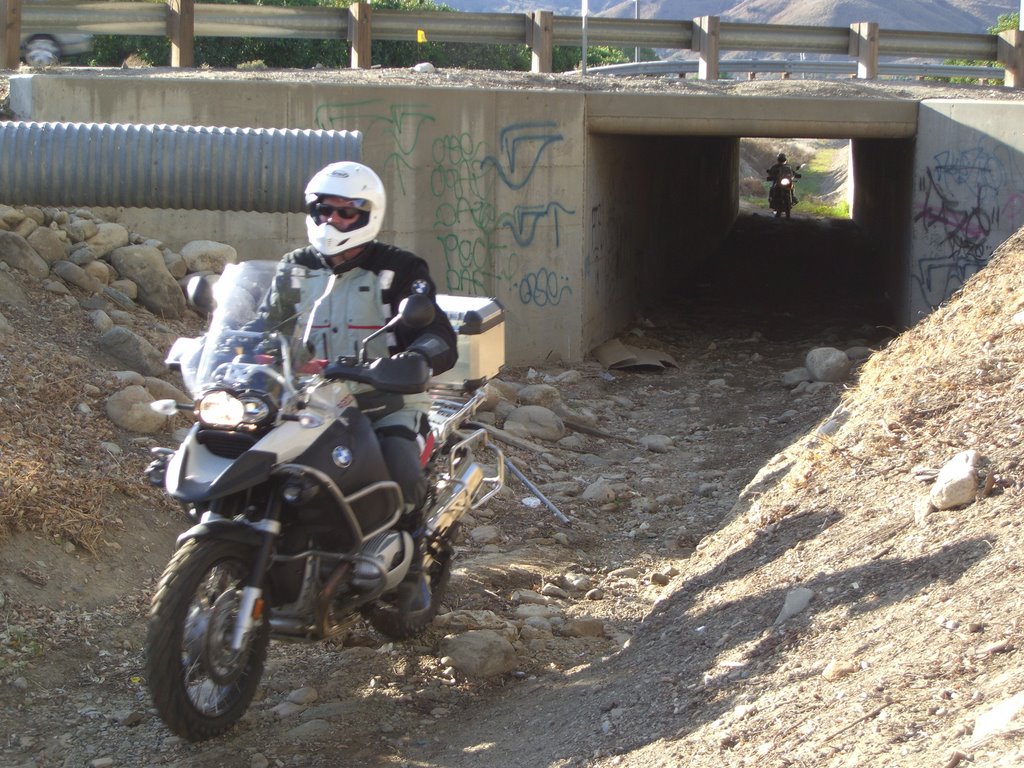 n, though, it became clear that this ride would fast lose its resemblance to
  the usual, mono-sport motorcycle ride. The unpaved crossing of the Santa Clara River, followed by an – atypical – underpass, made it clear that any opportunity to get off the pavement would be jumped at.
Our first halt was in Castaic, where Phil Wren joined the group at our fuel stop. Phil hasn’t missed a DS Ride yet, and as of our meeting in Castaic, may well have been the only rider never to fall over. Since DS Ride 02 though,
 Phil managed to get run over by a Cadillac Escalade. He emerged with nothing more than a bent handlebar-end, but that lady in the Caddy must’ve put a dent in Phil’s luck, too: More on that later.
 The first off-pavement section of the day took us out of Castaic up the I-5 corridor. There were a few steep sections, but the generally straightforward nature of these dirt roads allowed riders to loosen up on easy terrain – in preparation for the challenges ahead.
We did find, at the end of this section, a 50-foot stretch of racquetball-sized gravel, about 5 inches deep. This was on flat terrain, but still turned out to be quite a challenge. Riders with lighter bikes or knobby tires managed well, but riders on heavier bikes with more street-friendly tires had significant difficulty with this unusual surface.
A few more twists and turns, and we were heading north on I-5 – but not for long; we had spread out in a long line in anticipation of an unorthodox exit from the freeway hinted at by ride leader Laine MacTague. Sure enough, in the middle of nowhere, he signaled right, pulled to the side, and suddenly turned into a break in the guard rail and disappeared. We had discussed how to prepare for this departure before leaving Castaic, and were well spaced out along the road. Traffic being light we all copied the maneouver with ease and suddenly found ourselves on a dirt road dropping well below freeway level. The descent offered a grand view of surrounding hills, chaparral and the odd pine tree above greener foliage near the bottom of a tiny, narrow valley. In a moment, we were riding along the edge of a sma
 ll lake, surrounded by tall cottonwoods gone autumn gold. The water was like glass, except where it was dimpled by cinnamon teal and mallards. Within a few breaths we were past the water and climbing steeply back up to I-5. In moments, we were back on the pavement, cruising along at freeway speeds. The entire experience took on the characteristics of a flitting daydream. Did that really happen? There was little time to consider that question, for in another mile or two, we exited I-5 for good, and in a few moments we were skittering down a hard-packed gravel-topped road.
This was the south entrance to Hungry Valley State Recreational Vehicle Area. Our route included one of the easier trails in the area, a sandy road following a pipeline and set of power lines through the hills, emerging again near I-5 just north of Gorman. Laine had warned us previously that this section would prove challenging; significant portions of the road are sand. In spite of the warning, none of us chose to make use of any of dozens of short "escape" routes leading to a nearby paved road.
At one point, the trail actually dropped us down into a wash: For about two hundred feet, the “trail” was a dry riverbed sporting sand over a foot deep. Laine pointed out easier and more challenging options for how to tackle the section. Most of us chose the easiest option, and got stuck anyway. Phil – you remember old “never-fallen” Phil – took his third spill in the deep sand here, hurting nothing
 but his pride. [He was, by the way, only half way
  through his falling streak for the day . . .] We ended up out in the wash, parked, considering our next move. Well, most of us. Laine was standing on solid ground, out of the wash, taking pictures. Don Gordon, on his 1200 GS, pulled up to the group after spending several minutes riding back and forth up and down the wash: “This is fun,” he said. Don didn’t even have knobby tires, and he was telling us the sand was fun. . .
Eventually, we all traversed the deepest sandy section with success. In the end, even the 1200 Adventure, manned by Roman Cooper, managed to navigate the deepest section successfully. Look at the tire track depth:
Our machines impressed us with their capabilities in Hungry Valley. Our own abilities were obviously improved since the beginning of the series, as well. Of course, there were disappointments now and then. Don, for instance, had trouble topping out on this short but steep climb:
 . . . . . . . . .
 . . . . . . . . .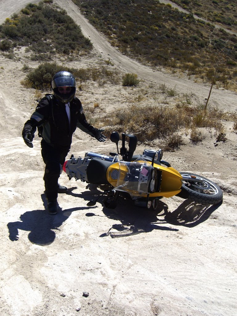
We turned his failure into success by staging an impromptu hands-on discussion of how to right your bike after falling on a hill. Next, Don showed us the right way to finish a climb:
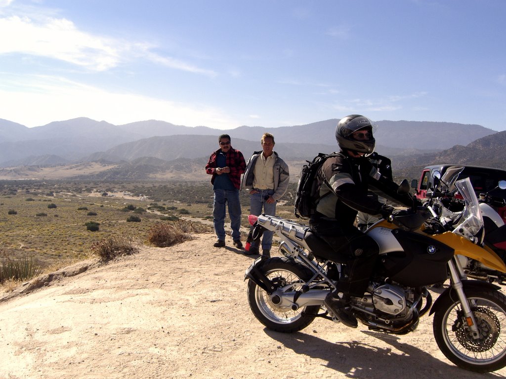 Rubber side down.
Dr. Wren took the next fall (number… oops, lost count), on a not very steep – but narrow and quite technical –


 meandering climb following a short ridgeline. Foraging among the yuccas is not advised; luckily, Phil came away with only minor puncture wounds.
 After Phil’s learning experience, we regrouped and took stock. We found ourselves beyond the majority of the sand and steep hills, facing enjoyable and comparatively easy riding down dirt roads leading to gentle winding single track to the north entrance parking lot. Once there, we took a break and assessed the damage – surprisingly
  little, overall, and well worth the effort. In a few minutes we were refreshed and back on pavement, in search of another adventure. After a short and very pretty ride down a little-used dirt road, we found ourselves heading west toward Lockwood Valley from Frazier Park. Lockwood Valley is a wide rural mountain valley. The main road runs ruler
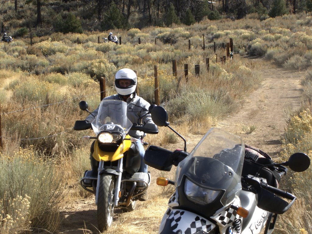 straight across open fields, then suddenly winds through short hilly sections. As we emerged from one such section, Laine turned off onto another little-used dirt road. After winding past old barbed-wire fences up a narrow valley,
  we began to climb steep mountain slopes covered with pinyon pines. The
 pinyons soon gave way to fir. The road was smooth and well graded, but a little dusty. The panoramic view of Lockwood Valley – and of the I-5 corridor further to the east – made it clear that we were high up on the south slopes of Mt. Pinos.

This was a beautiful section of trail, and an easy ride. Near the top of Mt. Pinos we met the paved road, and followed it back down toward the community of Pine Mountain Club.
At Pine Mountain Club we stopped for a much needed lunch break. We ate at the sign of the Screaming Squirrel, a comfy place with outdoor seating overlooking golden-hued autumn cottonwoods in a valley defined by pine-covered slopes. Squirrel was, sadly, not on the menu, but we did find burgers – both veggie and “ham”— as well as sweet potato French fries and a tasty potato leek soup.
Thus refreshed, we saddled up for the last off-pavement leg of the ride: Qatal Canyon. Qatal Canyon Road is a wide and well-graded dirt road that winds down steeply from the area of Pine Mountain Club until it reaches the head of a long, gently sloping valley, which widens to the west, where it disgorges into upper Cuyama Valley. The Forest Service also designates the dry riverbed running down Qatal Canyon as an OHV trail. The group split up; some turned aside to follow the riverbed, and others stayed on the road.
The riverbed was a mixture of hard silty clay and loose sand, speckled with rocks of varying sizes, and crisscrossed with hard clay ridges and gullies of varying depth and height, the result of last season’s rains etching their way downstream. Even with all these obstacles, the primary challenge of the riverbed was the need to maintain focus: An easy path was always available, but a moment’s lack of concentration could find you in a position where no easy path was available.
The road, once it emerged onto the valley from the steep hills, became razor straight, with only two significant turns in perhaps eight miles. It hid other surprises, however: Washes crossed the road at odd intervals. In these spots, the road dipped down perhaps ten feet in a steep swale, and at the bottom there might be a broad patch of deep sand, or a shallow gully. In the orange light of late afternoon, with the sun ahead of us, these swales came out of nowhere, and bore serious watching for.
Further down the canyon, the washes subsided, and the road was crossed at fairly regular intervals with angled berms of middling steepness, perhaps three feet tall, designed to divert water flowing down the road to the downhill roadside. Standing on the pegs, as we were, and at speed, as we were, these berms provided perfect wheelie launch pads; every 250 yards or so, with a small flick of the right wrist, our front tires would rise smoothly up and glide feather light back to the ground. The rhythm created by the regularity of the berms gave the experience a dance-like quality.
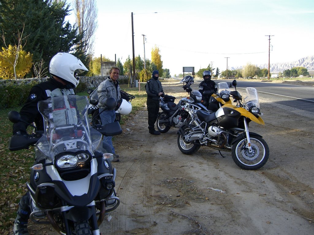
Finally, chaparral gave way to vineyards. We gathered on the Highway 33 roadside in fading afternoon light. It had been a warm day, and it was finally cooling down. We compared notes on the ride, tossed some smiles back and forth, and made our first goodbyes: Some of the riders opted to head back through Lockwood Valley to I-5, it being the most direct way home for the L.A. and south bay types.
Three of us continued down Highway 33 toward the ride’s beginning in Ventura County. If you have not yet ridden 33, you are in for a treat. Highway 33 passes right through the Los Padres range, providing miles of breathtaking
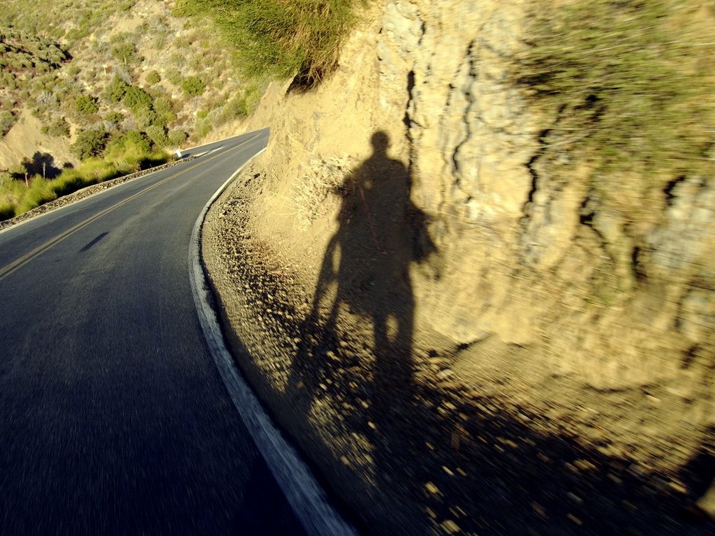

 mountain scenery and countless well-engineered sweeping mountain curves. We crossed the entire range, from Cuyama Valley to Ojai Valley. Just before we left the southern foothills, we made our final stop; it was our old DS Ride 01
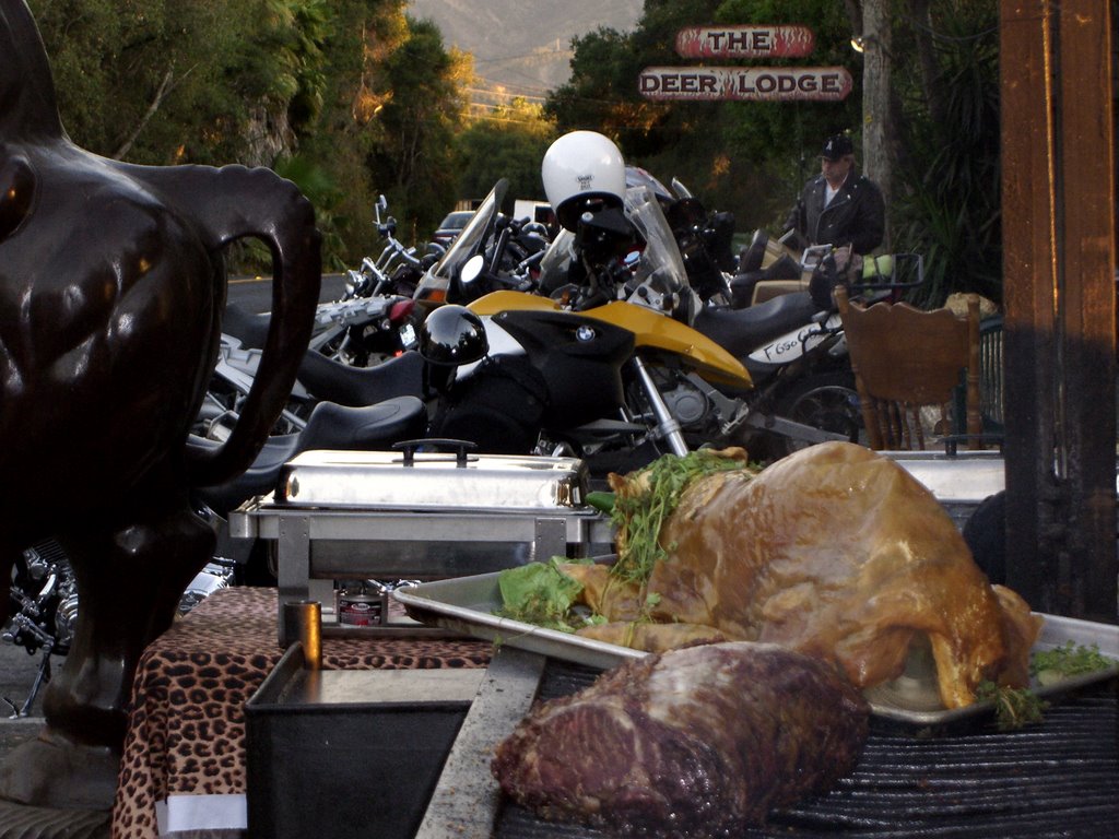 dinner stop: The Deer Lodge. We lined up our dust-crusted rides among the crotch rockets and Hogs (one of which had an apple in its mouth), and sidled in for a few hard-earned beers. We reversed our standing rule: Normally, if you fall over, you have to by the beers, but since newbie James Massie was the only rider who didn’t fall over, he graciously offered to pay for the muscle-relaxant!
And whom did we meet at the Lodge but two riders from DS Ride 02, Don Hale and David Harner. Don was on his RT, instead of the Honda dualsport he rode during the September ride. Don and Dave had spent the day on pavement, following the same general route as we did, with the addition of a trip to a motorcycle show in the Glendale area. We traded stories of the day’s rides, relaxed, and generally basked in the afterglow of a Diem well Carpé-ed.
Here’s Don Gordon toasting the ride. . .
 . . . Hope to see you for DS Ride 04!


