MOJAVE NATIONAL PRESERVE:
THE MOJAVE ROAD
What . . . . . . . . . . . . . . . . Dualsport Overnight, 3 daysWhen . . . . . . . . . . . . . Meet Friday, 28 March, 7:30 AMWhere . . . . . Meet @ BMW Motorcycles of Ventura CountyContact . . . . . . . . . . . . . . . . . . . . . .Laine MacTague [DSO 02 Orientation]Laine,
The ride was about as good as it gets. I don't think
the dreams we all have when buying GS's are
as good as that actual ride. Thanks for all the
effort in putting it together.
Steve
I’ve done a lot of post-ride research and testing, and in the final analysis I have to say that no, I can’t, I definitively cannot, believe, how much fun that ride was. Im-freakin’-possible.
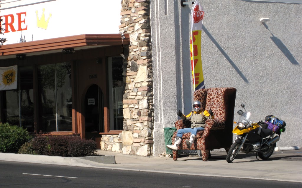
The commute to the start at three-corners, where CA meets NV meets AZ, had the look of a grueling five-point-five hour slab-fest, on paper. So I got a fresh piece of paper and started connecting dots that weren’t on highways. The result was more adventurous and enjoyable than I had hoped. We did start with some freeway and highway miles that left some of us in need of a break – so Captain America found a comfy chair and took one.
By this time we were just beginning to exit what I like to think of as indigenous territory; that circle centered on home in the bounds of which we feel a sort of calm familiarity. That chair marked the edge of my circle. Certainly, I had been here before. But not too often. I also knew that soon we would be in places and on trails that none of us had experienced before. What a great feeling, that sense of being on the cusp of an adventure!
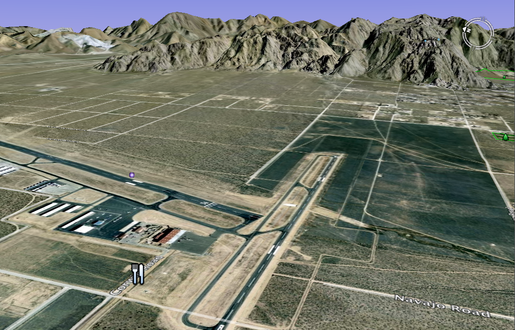
As a mile-post to mark this psychological sea change, I had chosen the Apple Valley airport as our lunch stop – and I had planned about 50 miles of unpaved riding beyond; from the runway access road to a point on Old Highway 66, well along on our route to Three Corners and the Avi Casino perched thereon.
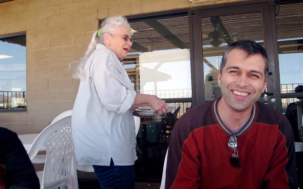
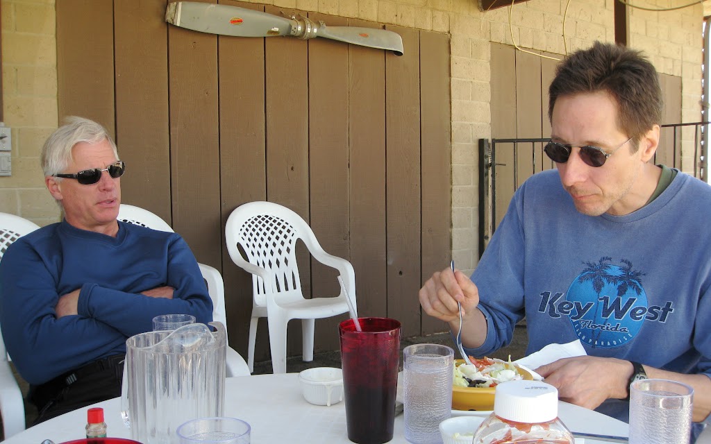
Leonard’s Airport Café turned out to be an inspired choice. The airport was desert peaceful, with mountain views, an occasional small plane to watch, and family friendly service that had us all smiling.
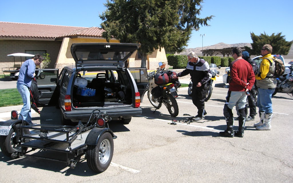
Dan “Lunchtime” Taylor showed up (at lunch, of course) with his bike on a trailer and joined us.
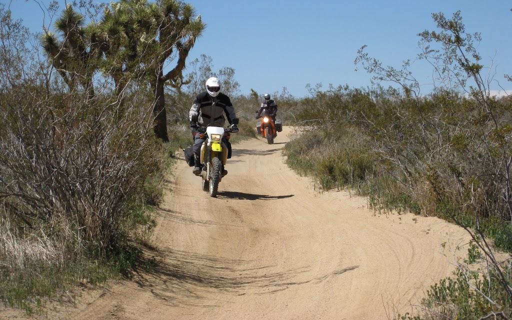
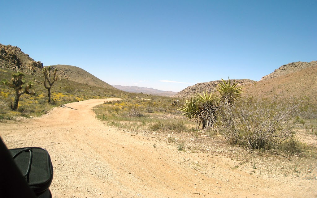
After our meal we helped him pack up, and began our run through the desert.
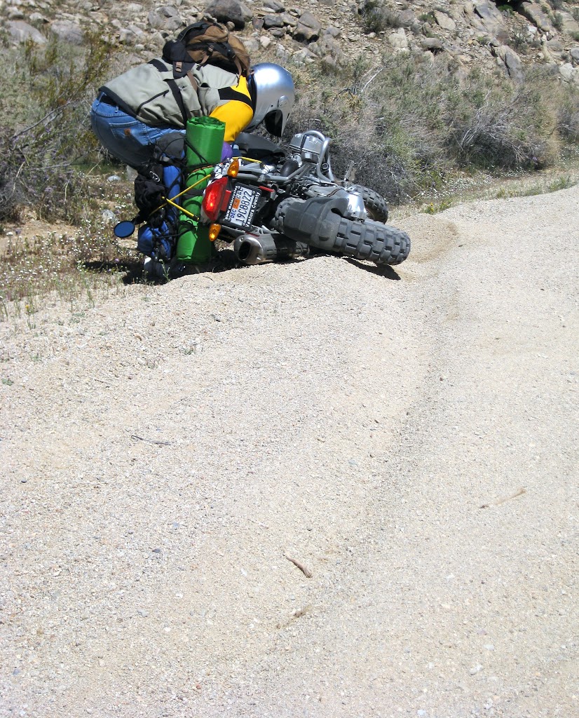
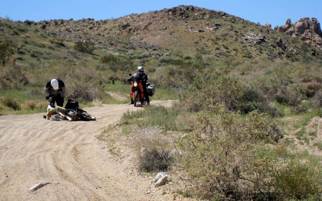
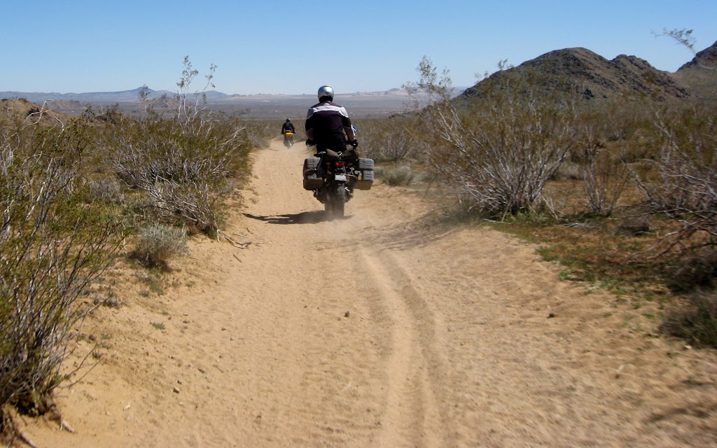
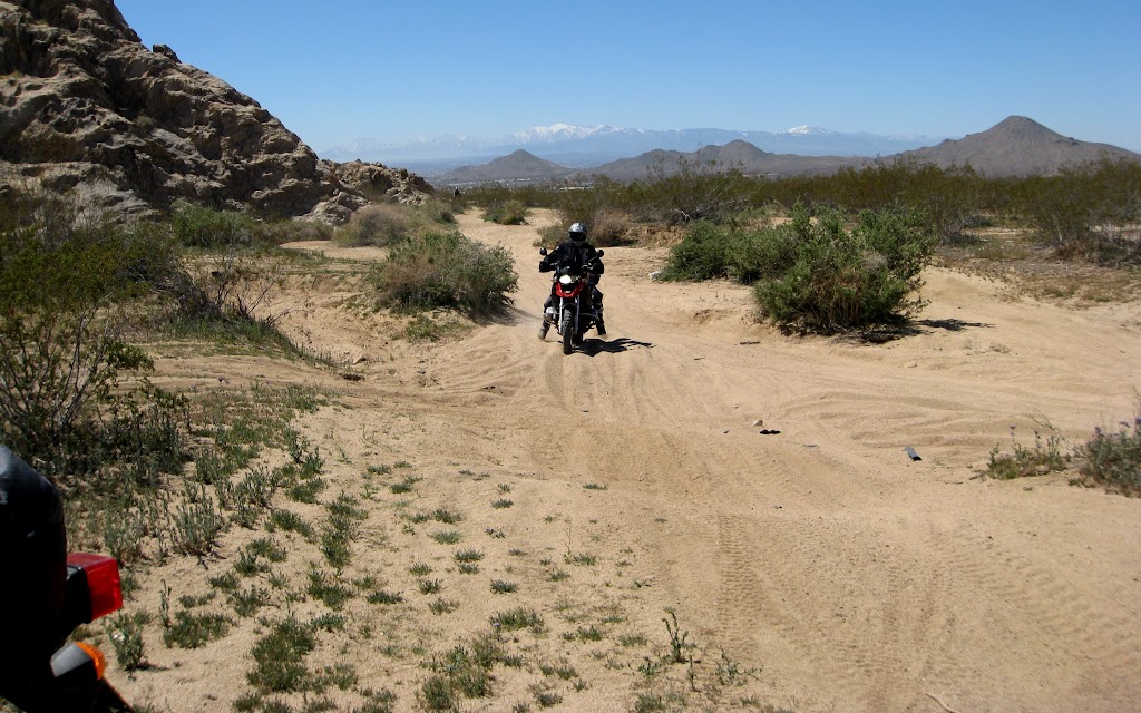
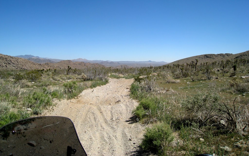
Sand was a foregone conclusion, dreaded by some, anticipated by others. The first few moments after getting off pavement are always a tricky adjustment period. Jim Janssen – one of the dreaders – did us the favour of going down first; almost the moment we left the tarmac. But after that it wasn’t long before we all got our sand-legs, as it were. The broad sand track led eventually to a sandy-gravelly road along the base of a range of hills. The land sloped away to the south with sweeping views of green desert flora broken up by patches of yellow flowers.
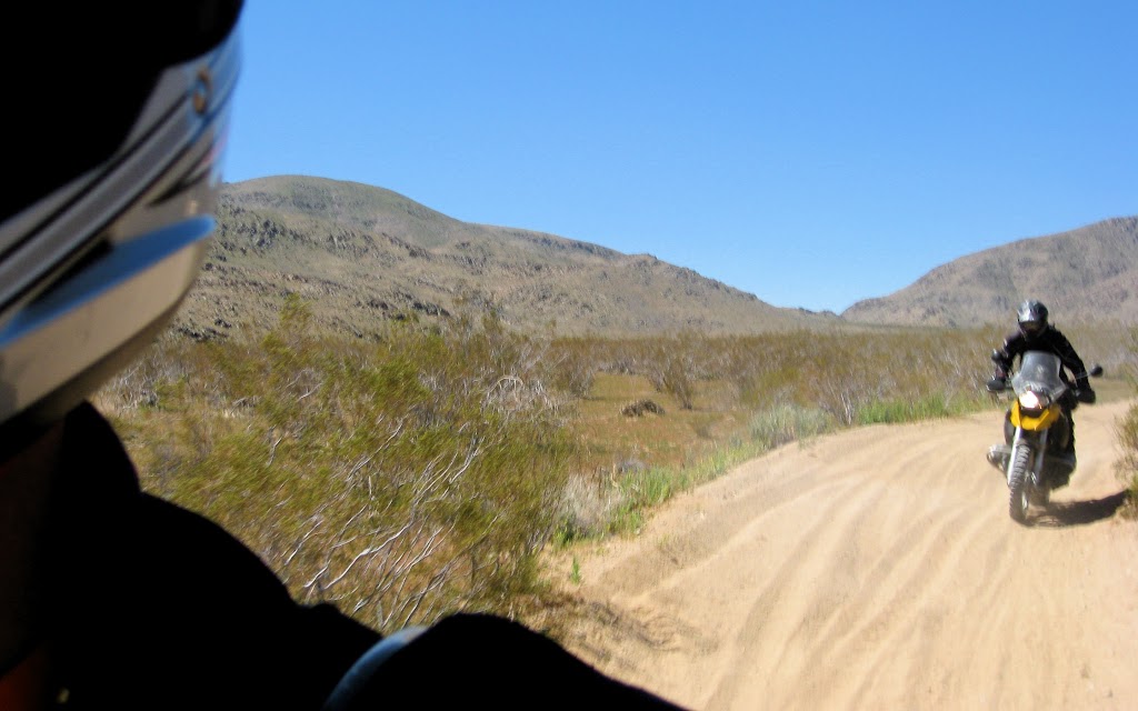
The trail varied through hardpack, sand, and small gravel for sections of differing lengths, in no particular order. Deep sandy turns were the hardest, and claimed several victims. Speed helped; those who were comfortable traversing curving sandy sections at higher speed tracked more accurately and with greater ease – but risked higher-speed falls as well.
In little more than an hour we had seen dirt roads, single track, and dry riverbed riding. The trail disgorged onto an improved dirt road. From this point we had the options of a powerline road, or a series of connecting dirt roads and trails that wound through a mountainous section of the desert. We chose option B, and through the magic of
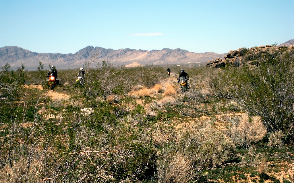
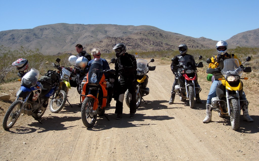
GPS, rapidly lost all connection with trails of any sort. We ended up piling out of the open desert at a four-way intersection of improved dirt roads, nearly passing through the backyard of a solitary homestead to do so.
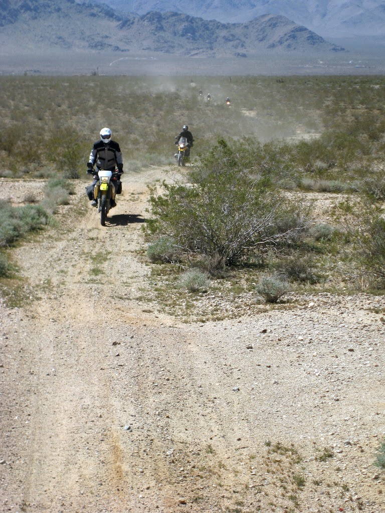
A few more miles of orienteering led us finally to our route, which turned out to be a marvelous seldom-used greensward that climbed up into wide flat valleys in the desert hills.
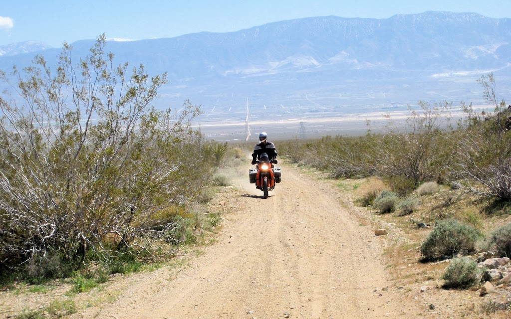
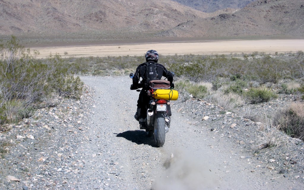
For a long time as we climbed, we could see rural development far behind and below, in Lucerne Valley. Eventually the sight disappeared as we wove higher into the hills, and something completely different opened up in front of us. A small playa completely surrounded by arid hills. Time for a change of pace!
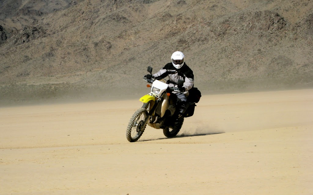
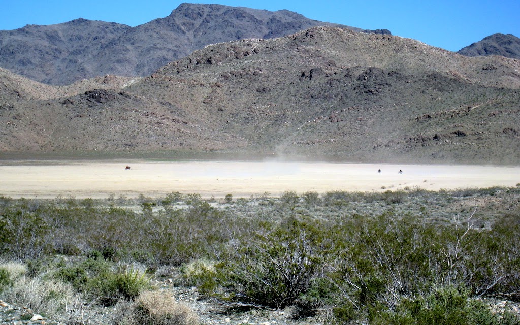
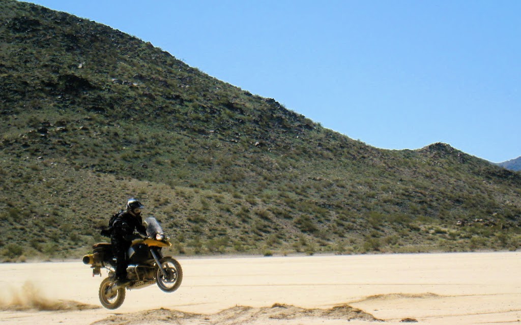
We spent quite a while on the playa, experimenting with high-speed turns, comparing
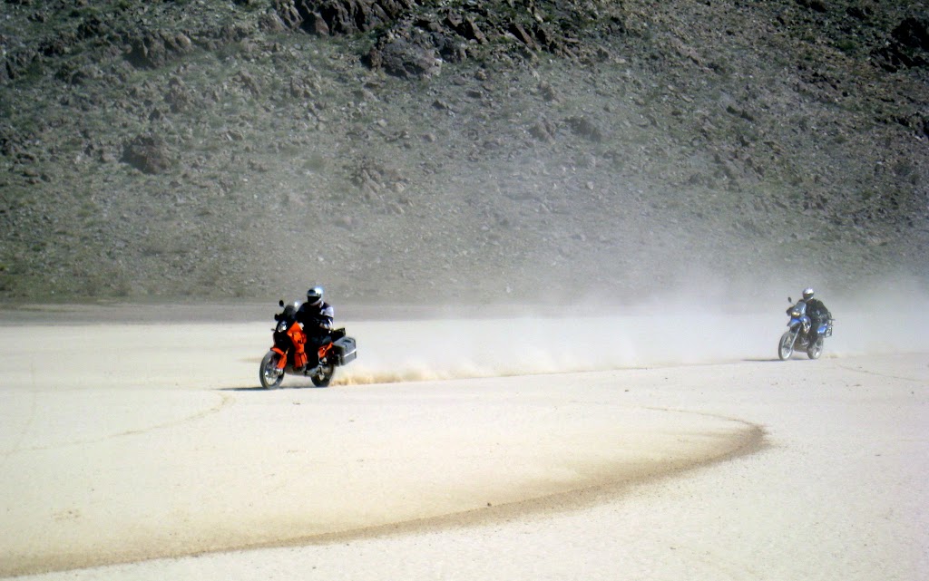
acceleration curves, and jumping off heaps of dried mud. Traction was imperfect, but in such a consistent way that it was ultimately quite reliable. Forty-five minutes of playa play left us feeling pretty pleased with ourselves.
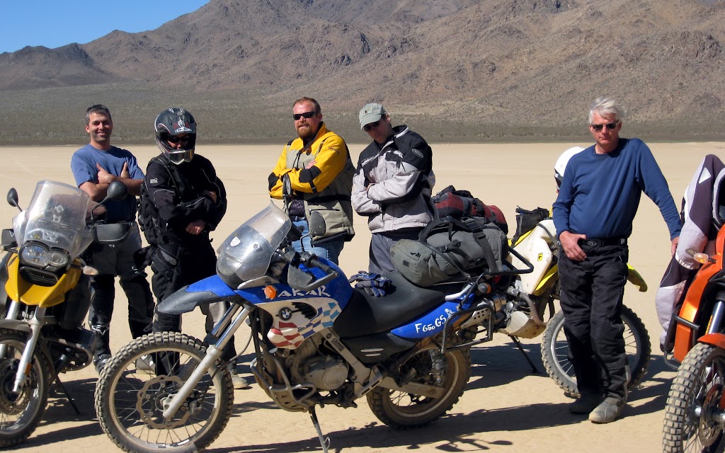
We hoped to make the Avi Casino by dark, so we tore ourselves away and continued the journey. It wasn’t far before we turned onto a buried gas line access road. It began as a hair-raising two-mile road of – I don’t know how to put it –
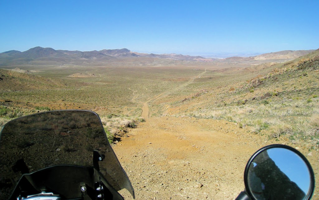
imagine an improved graded dirt road, but the dirt particles are mostly sharp-edged rocks, fist- to helmet-sized. This surface was partially stabilized by the soil below, but for the most part, it was just loose rock. The reason it was so hair-raising is that the first several hundred yards were more or less normal dirt road, and being as it appeared to go on like that, straight as a die, for miles, we rapidly accelerated to about 45-55 mph – and then found ourselves racing over big, sharp, loose rocks at fifty miles an hour, knowing
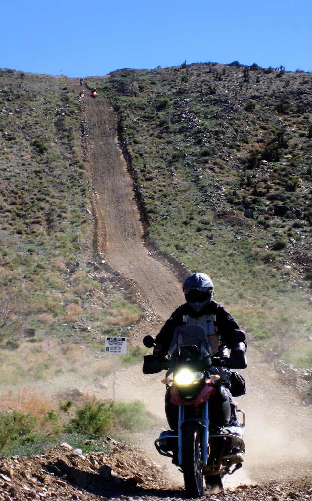
full well that riding slow over this stuff would be seriously difficult. As it was, it felt like hydroplaning, but the bikes basically went where we wanted them to go. We could slow down and pick our way through for miles at walking pace, or skitter over this scary surface at speed, keeping a sharp eye out for the odd basketball-sized loose boulder, and hopefully maneouvering around it. We held the throttles steady, paying rapt attention to the terrain.
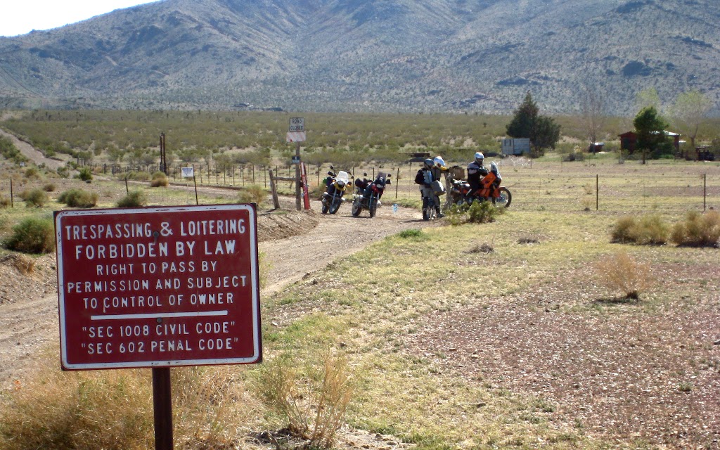
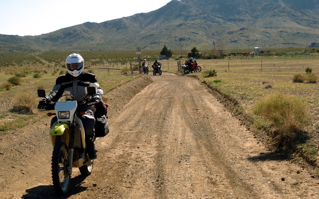
We managed to reach the end of the section without mishap. What followed was a series of very steep climbs and descents, usually covered in loose rock.
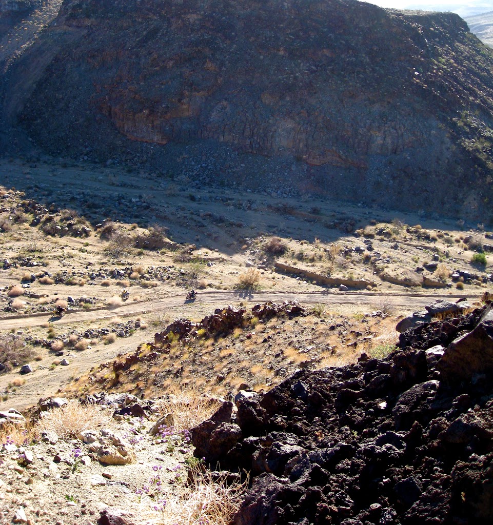
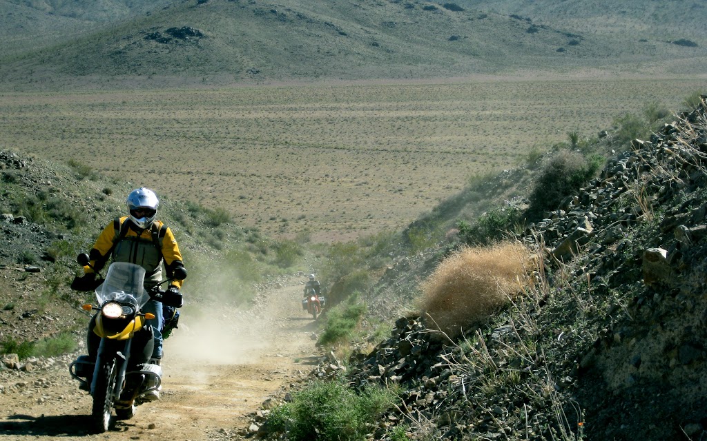
Sometimes, there was a less steep go-around route. The route dropped into a broad desert valley, and through private property on an easement. Someone had gone to great effort to make it appear that the easement was legally inaccessible, but in fact it was. Once through, the road climbed back into the hills. Eventually, we descended into a deep dry river valley. The road became extremely sandy.
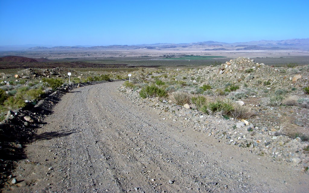
When we climbed out on the other side, we were greeted by a view of the eastern Mojave Valley and the Cady Mountains. Somewhere down there was I-40 and Highway 66. We began the rocky descent.
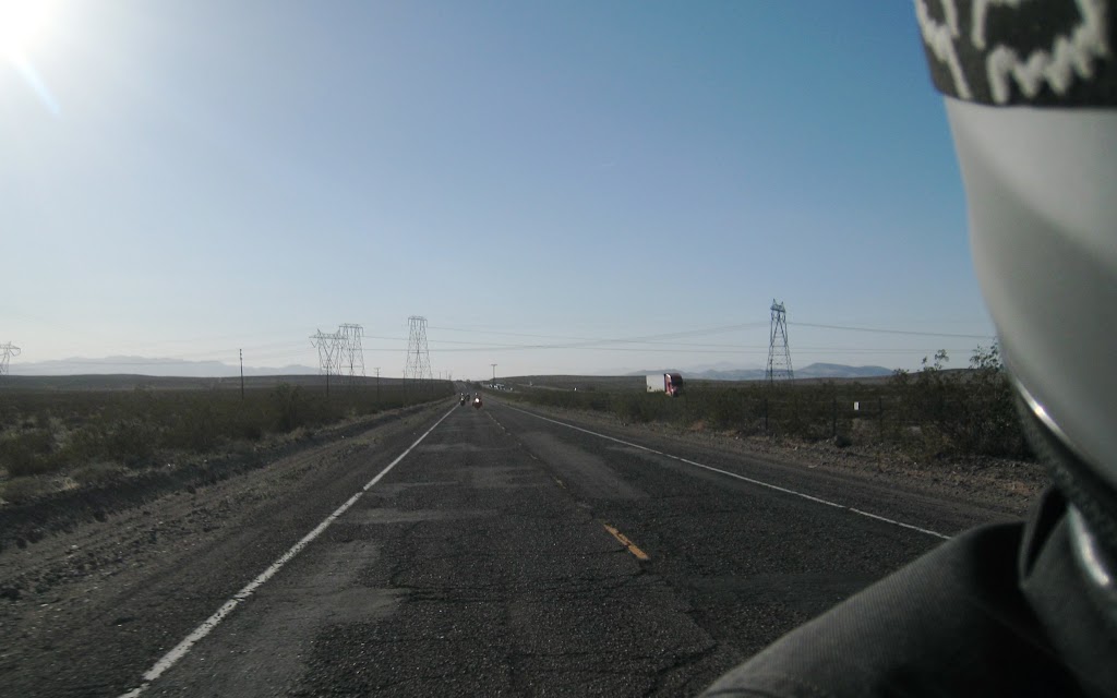
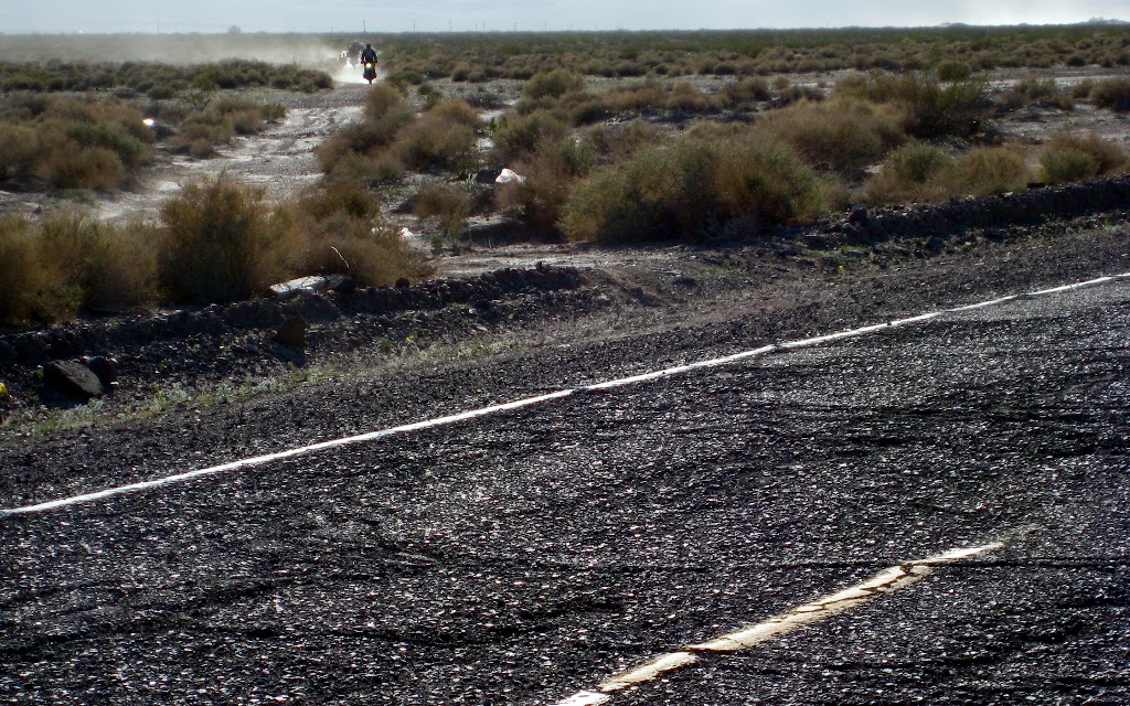
Passing through the lowland desert scrub was a long, straight patch of bare sandy ground. It was clear from the bits of old asphalt peeking up through the sand here and there that this was once a paved road. Our route took us down this strip, which eventually intersected Old Highway 66 at a jaunty angle.
Once roadside, we regrouped. A siren wailed. A police car bore down on us at high speed. Our muscles tensed. The police car raced by, heading west on the lonely road. There was almost nothing in sight for miles.
We resumed our ride, heading east. Soon, a siren wailed. A police car bore down on us at high speed. Our muscles tensed. The police car raced by, heading east on the lonely road. There was almost nothing in sight for miles.
We crossed slowly through sharp turns over I-40 at Lavic, nearly to Ludlow. Suddenly, there was a police car in front of us, lights flashing, just about matching our slow speed. Our muscles tensed. Then we noticed some one walking on the road in front of the police car. A little hesitantly we passed by. There was no pursuit.
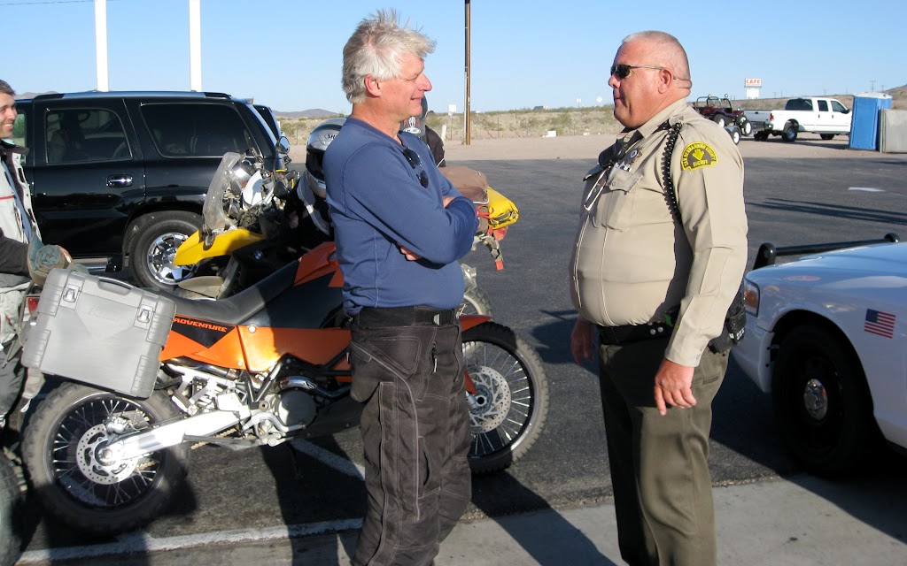
Shortly thereafter, fueled up at Ludlow, we were nearly ready to leave when a police car bore down on the station at high speed. Our muscles tensed. It pulled in and stopped next to us. The officer got out and squared up with Jim. Things were looking grim.
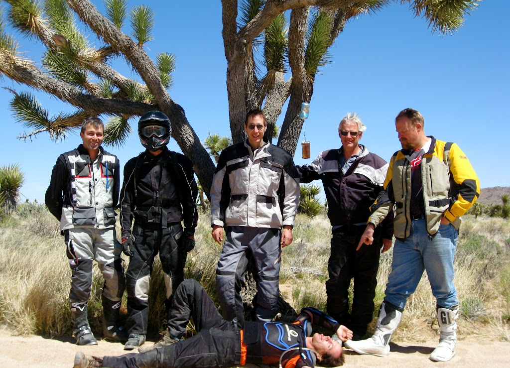
The officer began by apologizing for racing by us, explaining about multiple calls referring to a dead body on 66. Apparently, the body was… just sleeping. In the middle of the road. Which explained why he was being sent back and forth up and down the highway looking for a body in the roadway – it kept getting up and moving. Then we fell to talking about motorcycles, and the police-owned sand rail, which the officer uses to chase them around the desert. I got the impression that although he enjoyed speaking with us, what he really would have
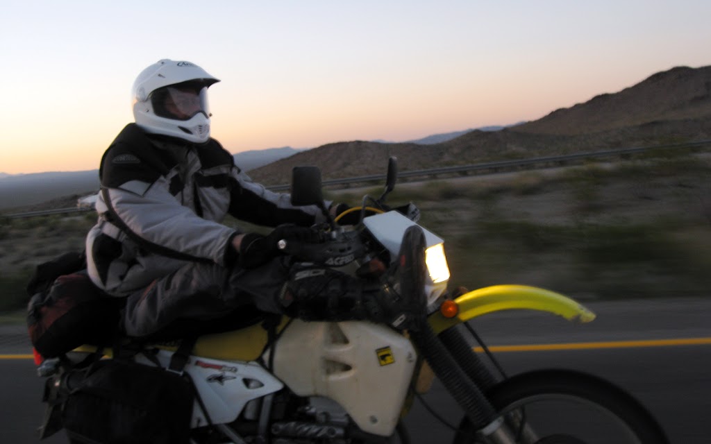
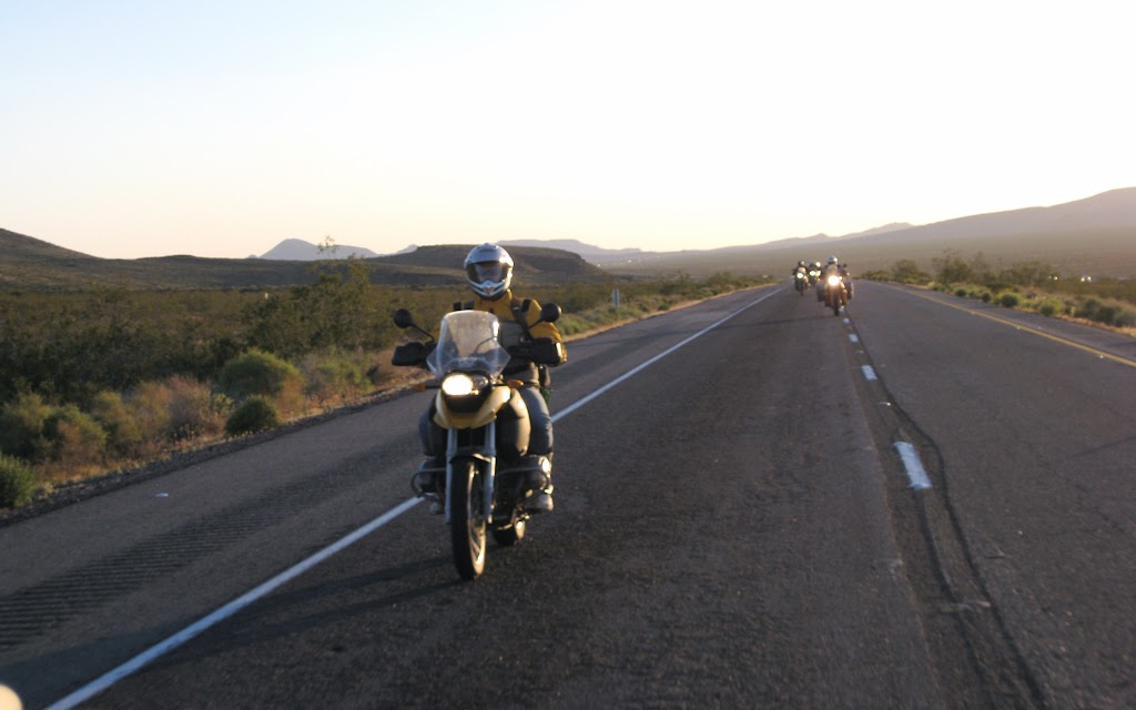
liked was to be forced to chase us all over hell-and-gone in a police sand rail. Sadly, we were abiding by too many laws for that happy dream to become reality. After a few minutes more pleasant chit chat, we got back on the road and headed for the border. We still had a long way to go. The traffic on I-40 was fast and the scenery starkly beautiful. Lunchtime lost all hope of being excused for riding too slow on the freeway because of his DRZ: I clocked him at [sensored] mph, on a slight upgrade. The special riding position must have helped.
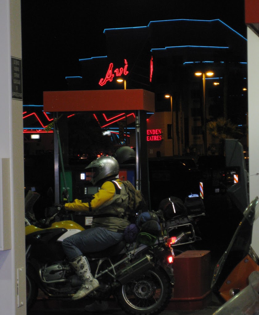
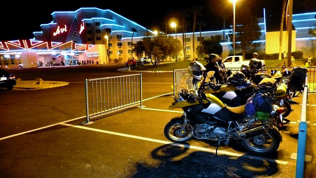
It wasn’t long after dark when we pulled into the Avi. From an adventure rider’s perspective, the Avi is far more than just a casino: It’s a gathering of restaurants and a gas station with cell reception and river access – everything a traveling dual sport team needs – within two miles of the beginning of the Mojave Road. We fueled up, and drug our fatigued bones through the surreality of the casino and into the first dining area we found. It turned out to offer a fairly inexpensive buffet that included just about anything one could ask for.
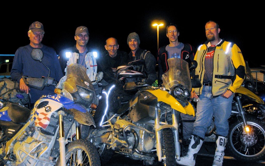
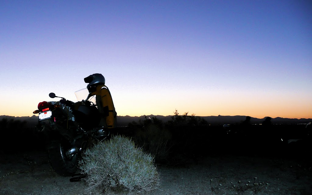
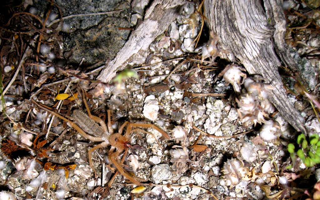
After a long and relaxing meal, we saddled up for another few miles. Rather than blow money on rooms, we opted to toss down our sleeping bags on the nearby BLM land. Our spot had views of the Colorado River and the Black Mountains. The lights of Bullhead City twinkled in between them. Some of the locals came by to visit, which was interesting.
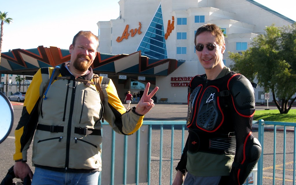
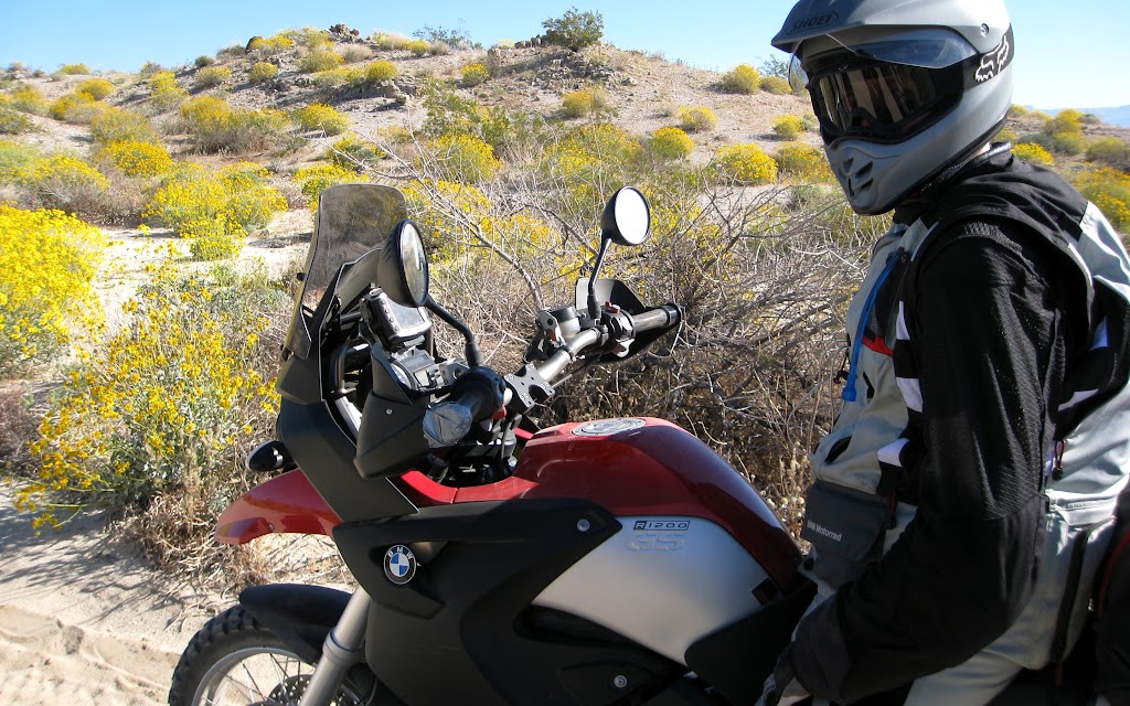
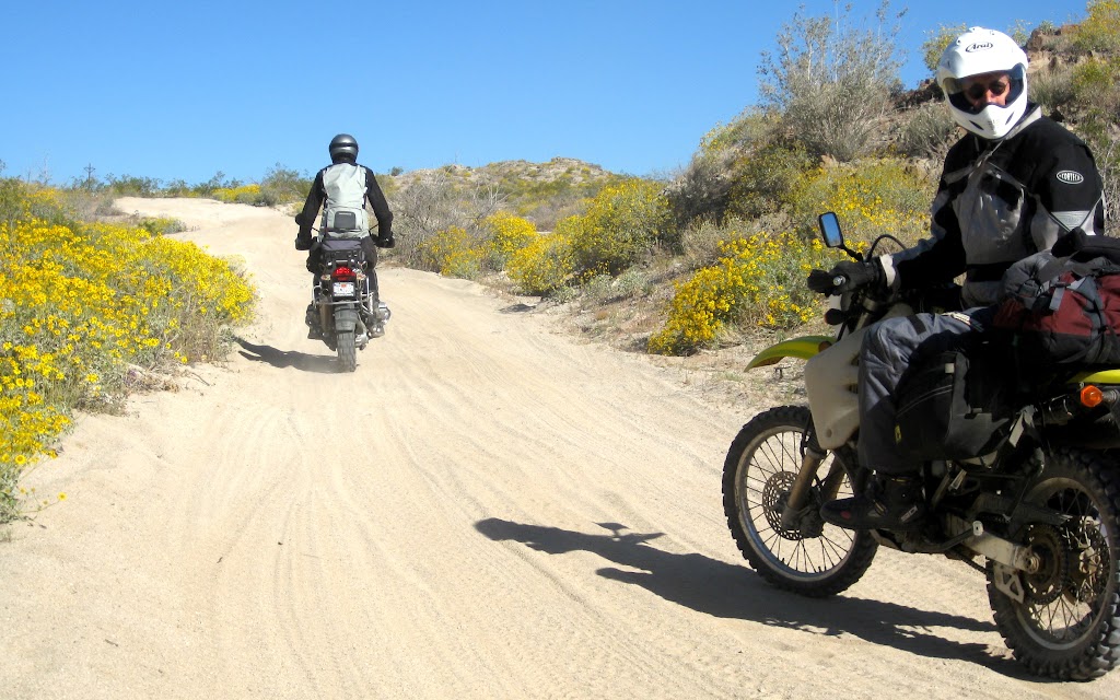
In the morning, we nipped back to the Avi for breakfast, and freshened up before embarking on the Mojave Road…
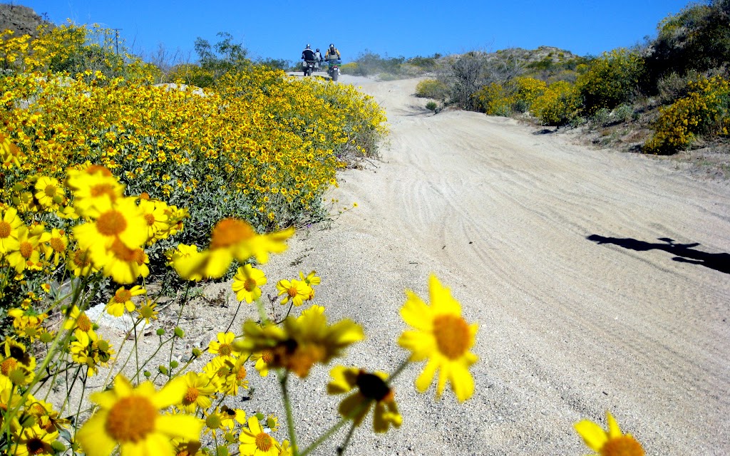
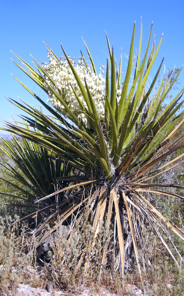

It was like riding on a trail through a flowerbed planted in a sandbox.
It went on for miles; sand, granite bedrock, hardpan, through a desert in full flower. The dominant colour was yellow, but purple and pink flowers were common, and one species of Opuntia produced flowers of vibrant neon magenta; they positively glowed with colour. Even the yucca were in flower; spires of creamy yellow (and coincidentally, edible) flowers rose out of intimidating whorls of green spikes.
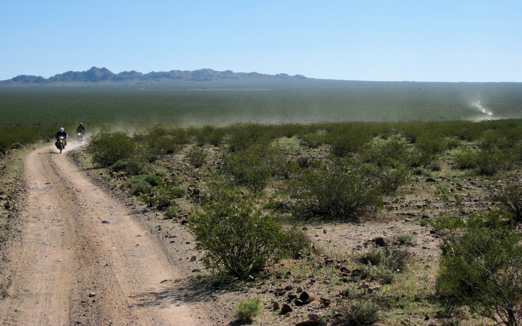
The trail was easy to follow. Often, several miles of it was visible, winding up the shallow incline of the far side of a broad valley. The sky was completely clear. It was warm, but not uncomfortably hot; a perfect riding day.
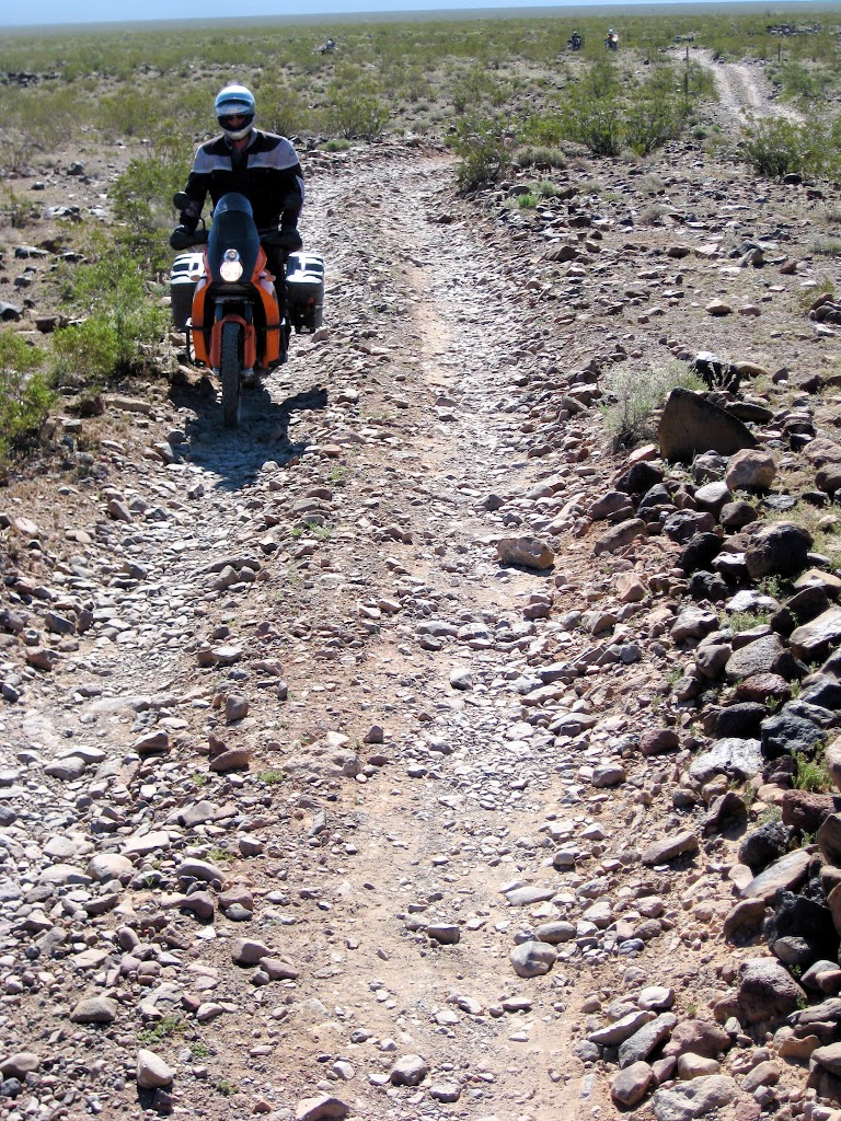
The trail turned rocky as we approached our first stop; Piute Spring.
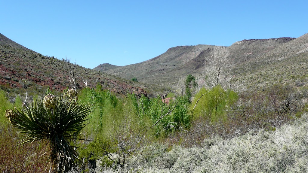
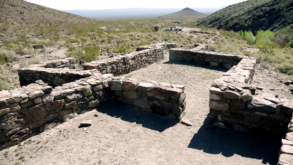
The Mojave Road was a line of least resistance into California, and wagon trains used it for quite some time before the railway was completed. The road connected a series of springs stretching across the desert, each nearly a day away (by wagon) from the other.
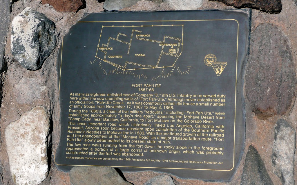
In order to keep this road open to travelers, the government stationed infantrymen at the springs to protect against Indians.
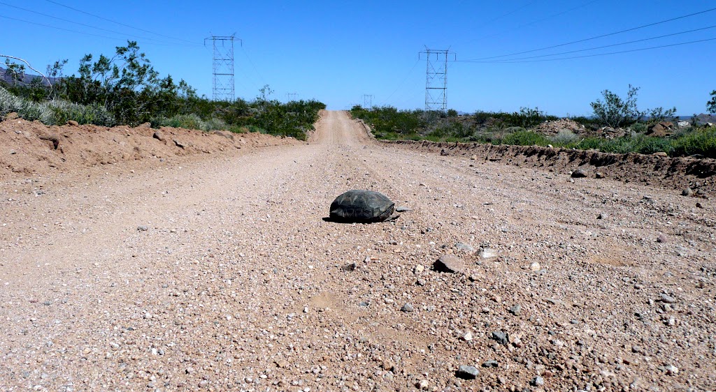
The only natives we saw were moving pretty slow:
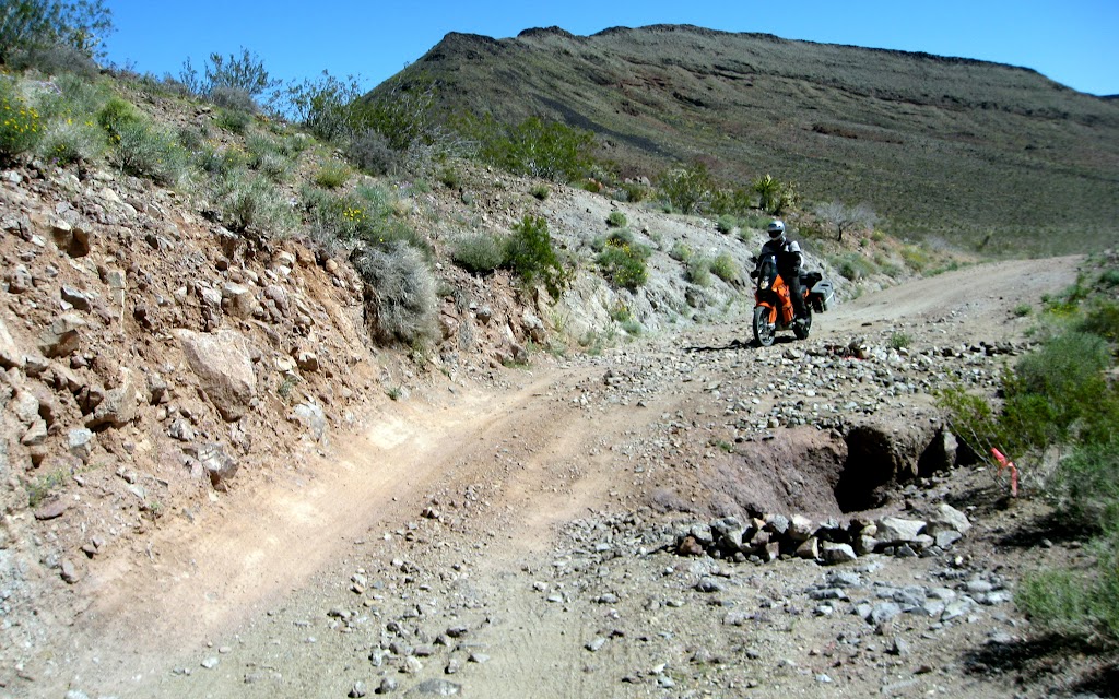
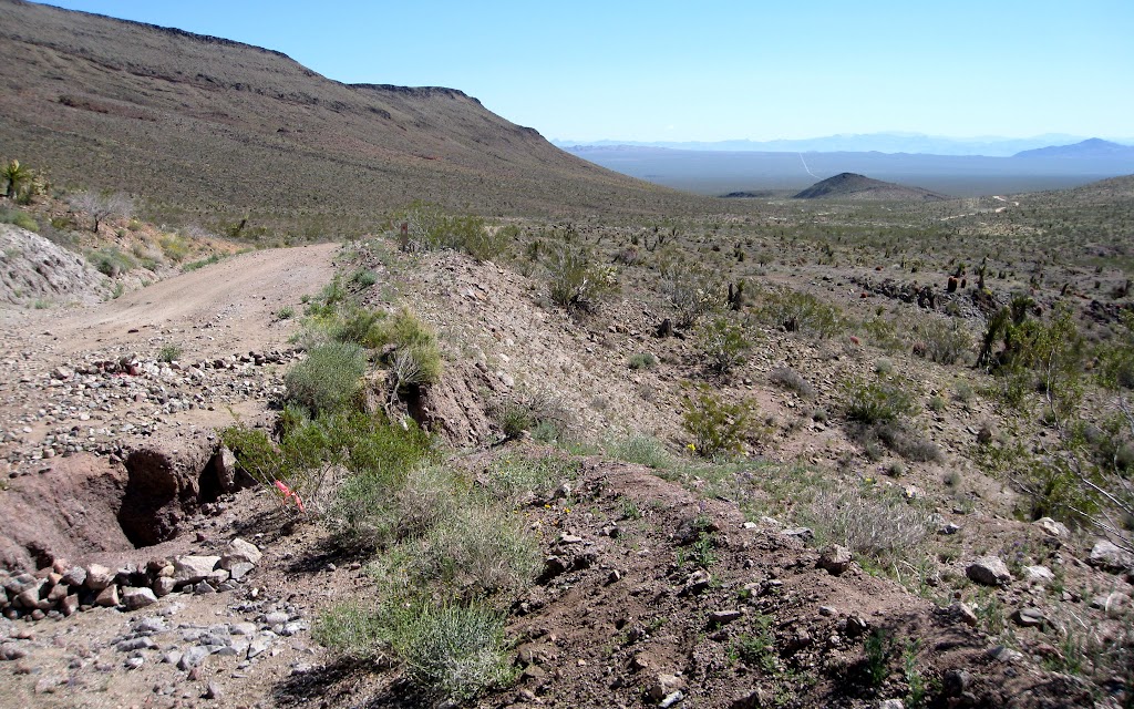
The road is closed to motor vehicles near the spring. A short bypass on a powerline road led us to a steep pass that eventually re-connected us to the Mojave Road. We found ourselves on a high desert plain. The temperature had dropped considerably as we climbed. At the river the night before, it had been near 80 degrees.
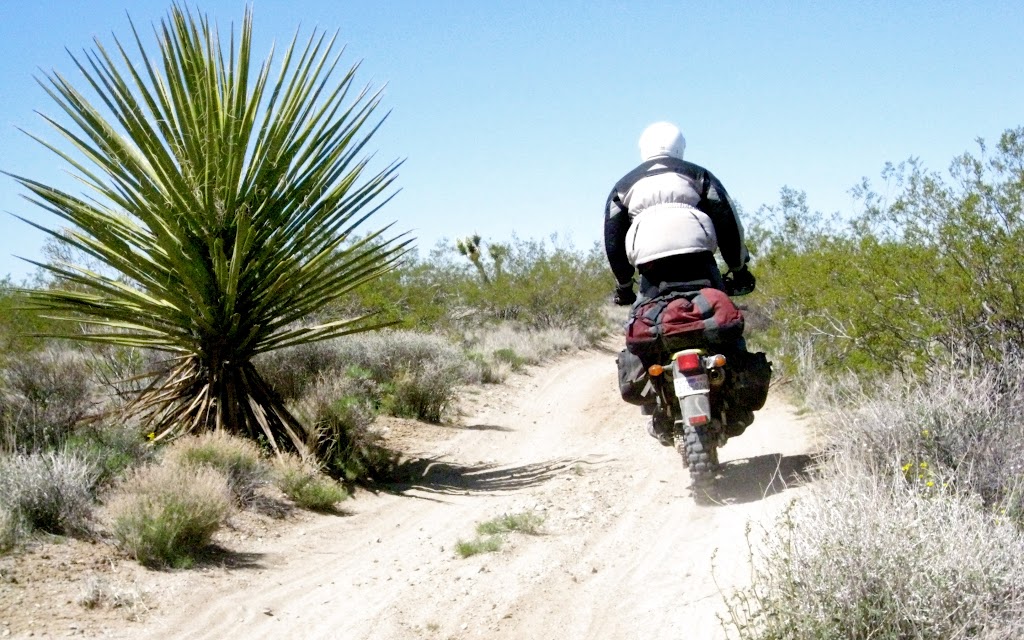
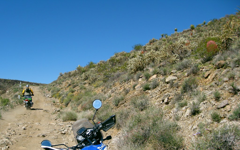
Now, on the high plains, late the next morning, it was near 60. The terrain firmed up, but the flora was sometimes a little intimidating to pass by. Not the sort of place for losing control and running off the road.
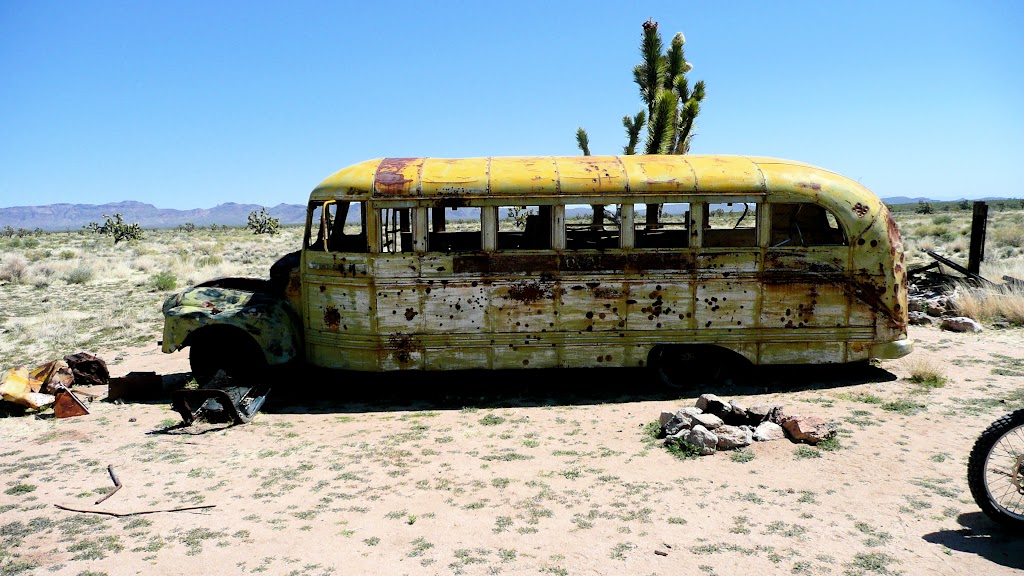
The desert is full of random items dropped in the middle of nowhere.
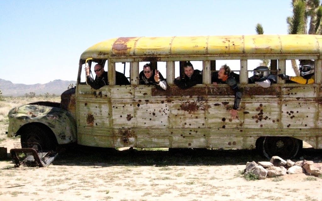
Our first discovery was a school bus. We decided to leave the bikes and take the bus. It was nice enough, but slow going. Eventually we traded back.
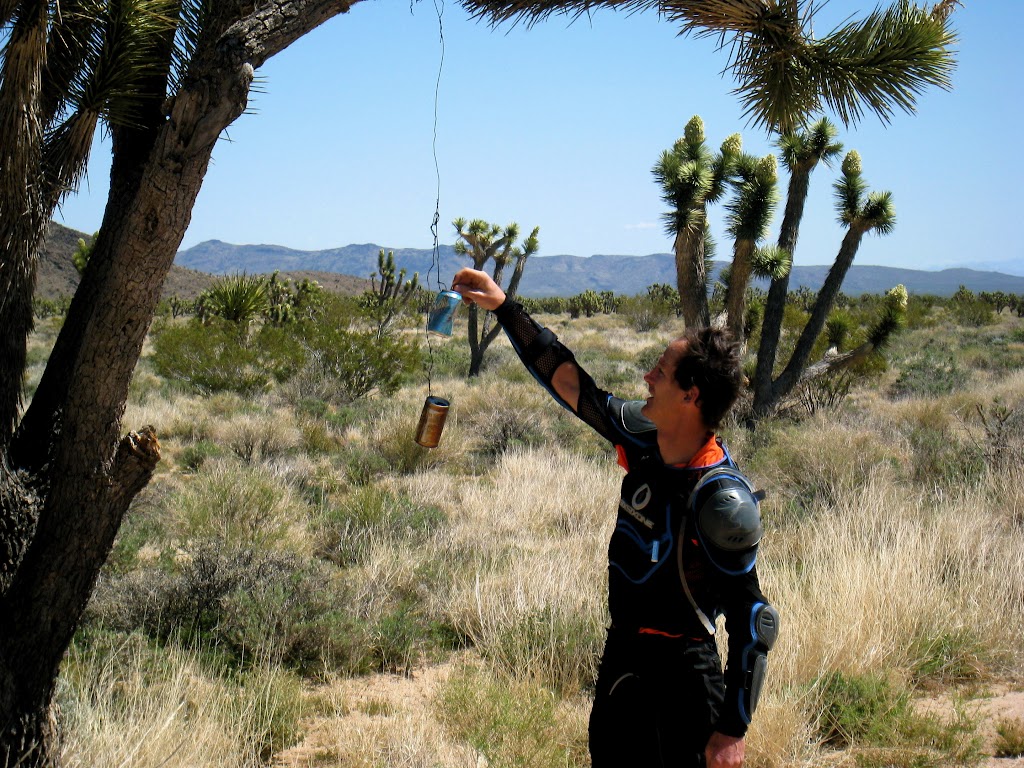
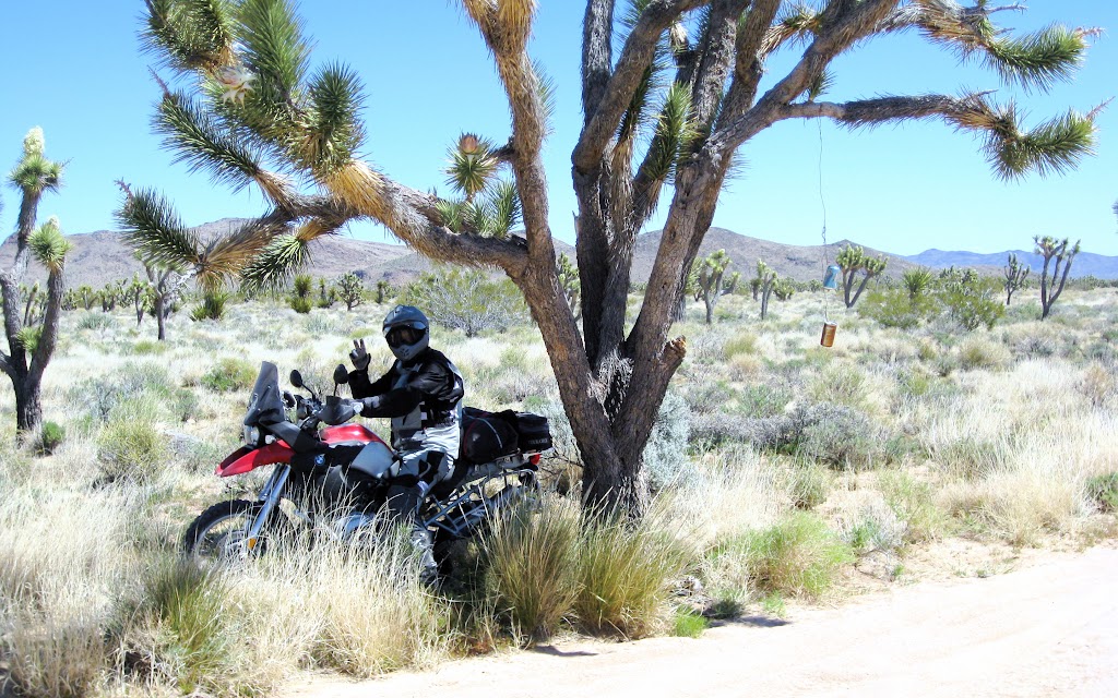
Random thing number two was the Penny Tree: The Joshua Trees were getting thicker on the ground now. One particularly large tree hung over the road a bit. Long ago, someone hung a soda can in it with a piece of wire. Properly informed beforehand, I brought a little change. I was surprised and delighted to find there was still room in the cans. Steve was so surprised he lost control and nearly rode right into the tree.
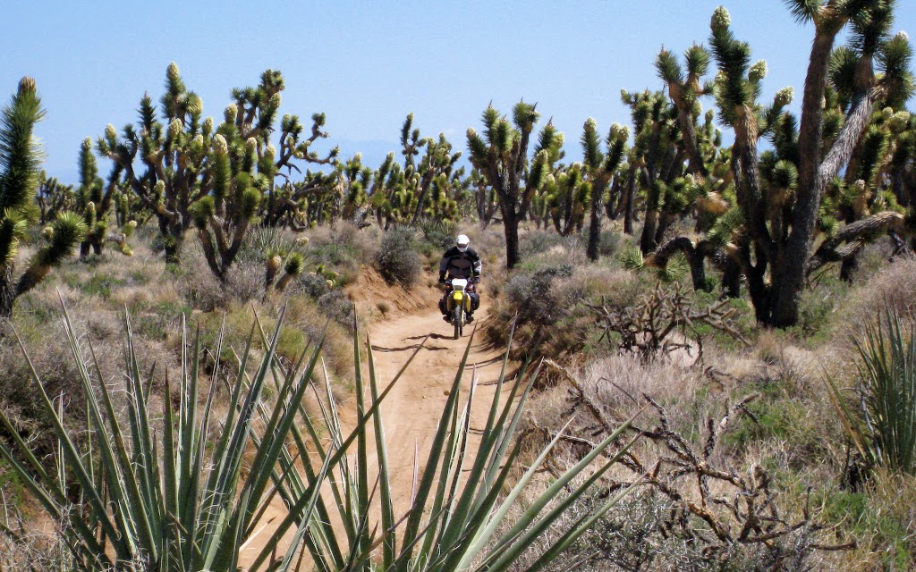
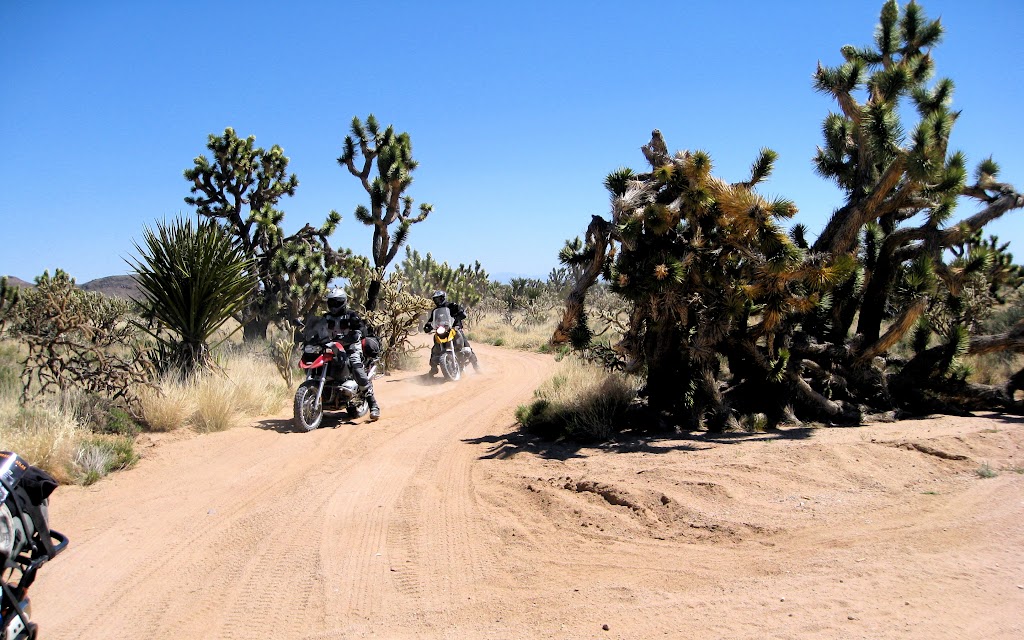
Next came a section of dense growth. The Joshua Trees grew thicker, and were joined by cholla, and more and more yucca. In places, the trail had been worn feet deep in the ground, which was probably good; it was still often loose and sandy. Loosing steering in the deep sections might mean a meeting with the steep side of the trail, but it wouldn’t mean riding off into the desert and falling into a cactus.
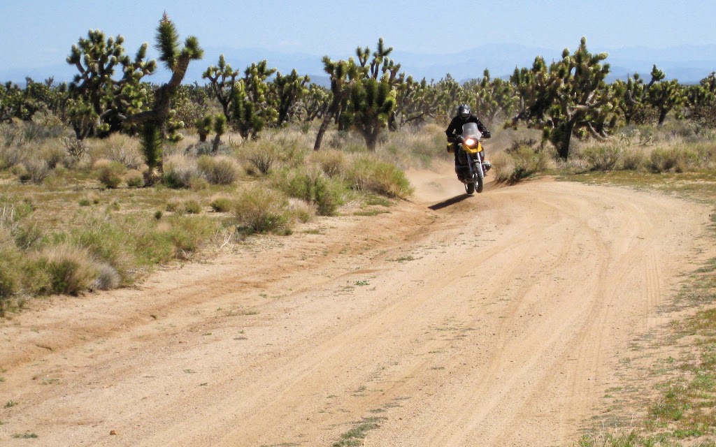
The forest ended abruptly; the exit jump gave us the sense that we were not so much leaving it behind as escaping it. What followed was the one and only seriously steep and rutted bit of trail on the ride. It was only a few yards long, but it proved trying indeed for most of us. Lunchtime got off to a great start that instantly turned on him:
Captain America had similar problems.
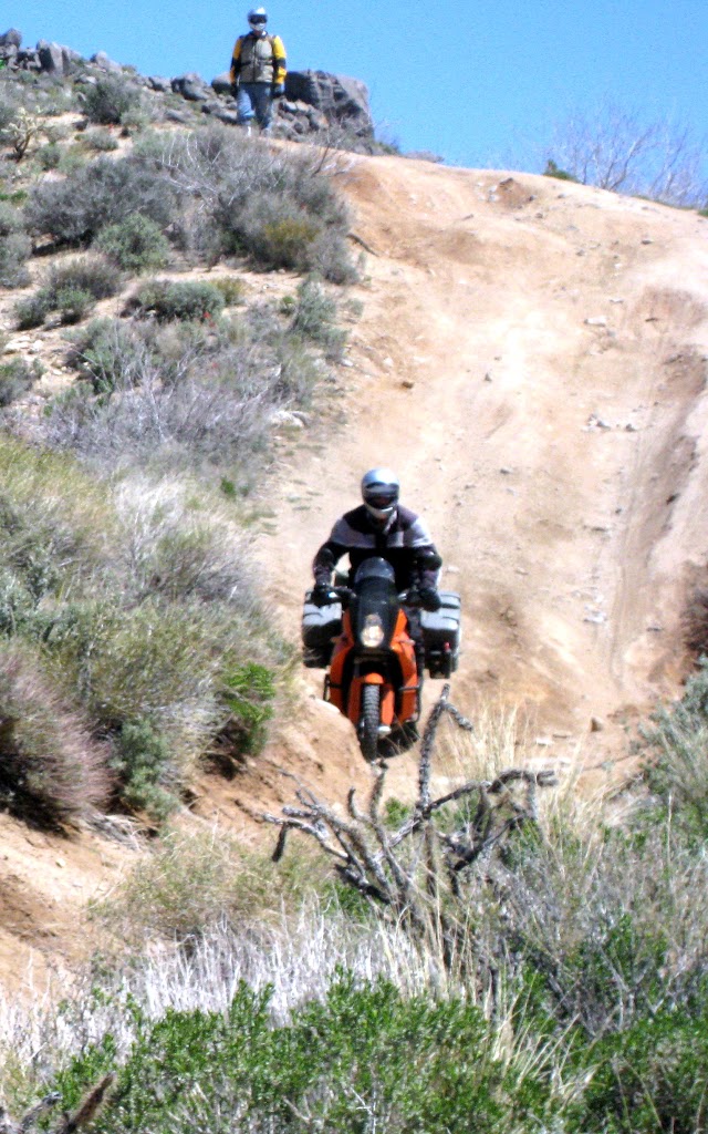
Jim maneouvered his KTM down with all the skill we’d come to expect from him; the day before, after his fall in the sand, it would appear, riding behind him, that his bike was always trying to lay down and roll in the sand. With continual application of impressively dextrous body control, Jim always managed to prevent it from doing so. This descent was no different.
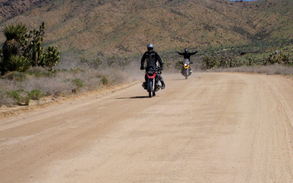
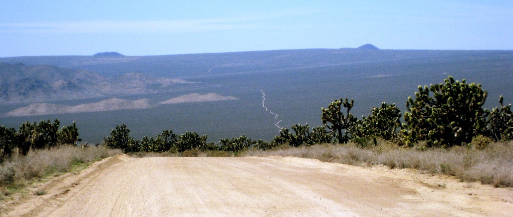
We emerged from a sandy section onto a wide, improved dirt road. We could see our narrow track, far in the distance. We were near the middle of the Mojave National Preserve. The riding had been just challenging enough, the weather was perfect, and the desert was beautiful. Moods were high.
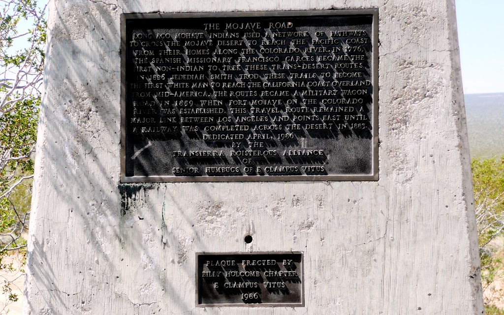
But it was getting on past midday, and we were getting a bit tired and hungry. We decided to continue to the next spring, Marl, and stop for lunch. We doglegged for a few hundred yards on paved Cima Road, and found this plaque where the Mojave Road continued on.
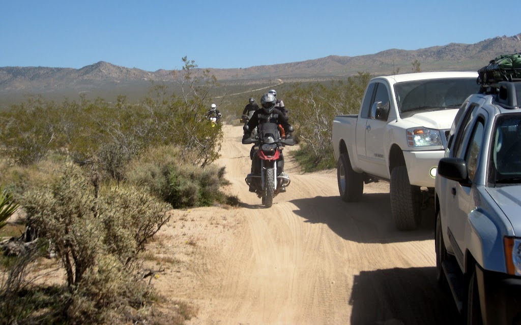
We didn’t often meet other travelers, but when we did, it was often tricky getting by on the narrow track.
This fellow traveler was going the other direction.
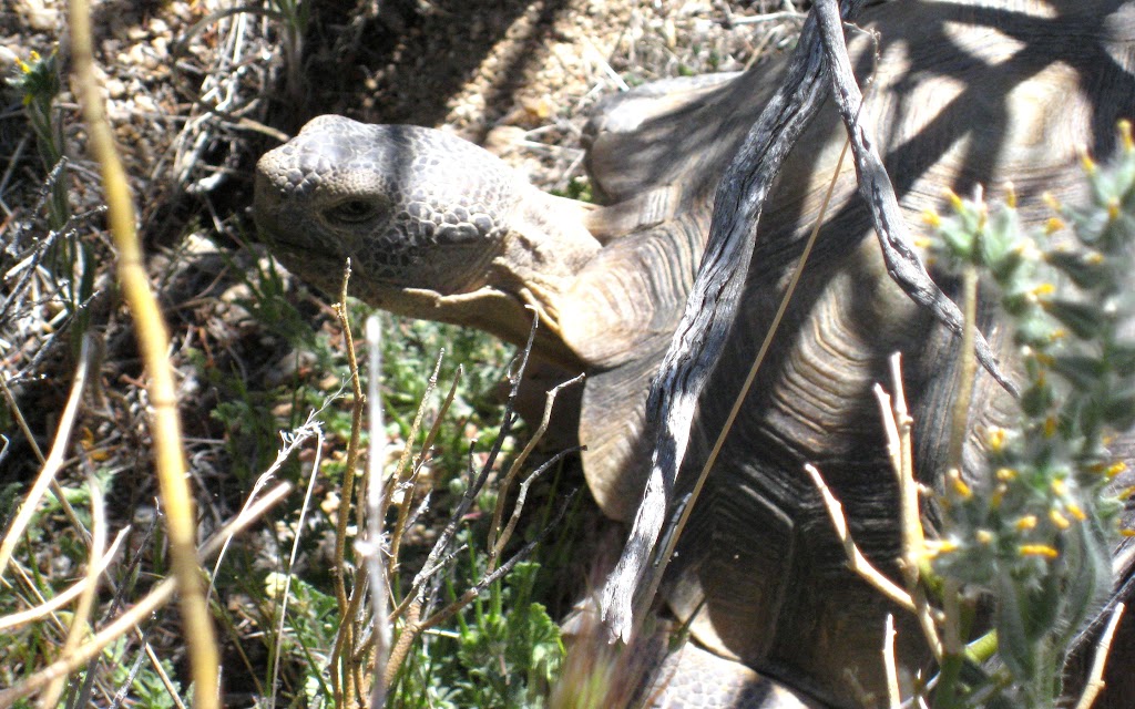
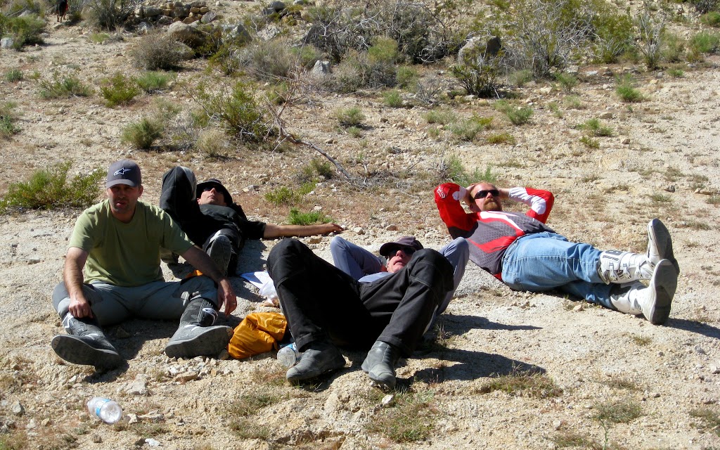
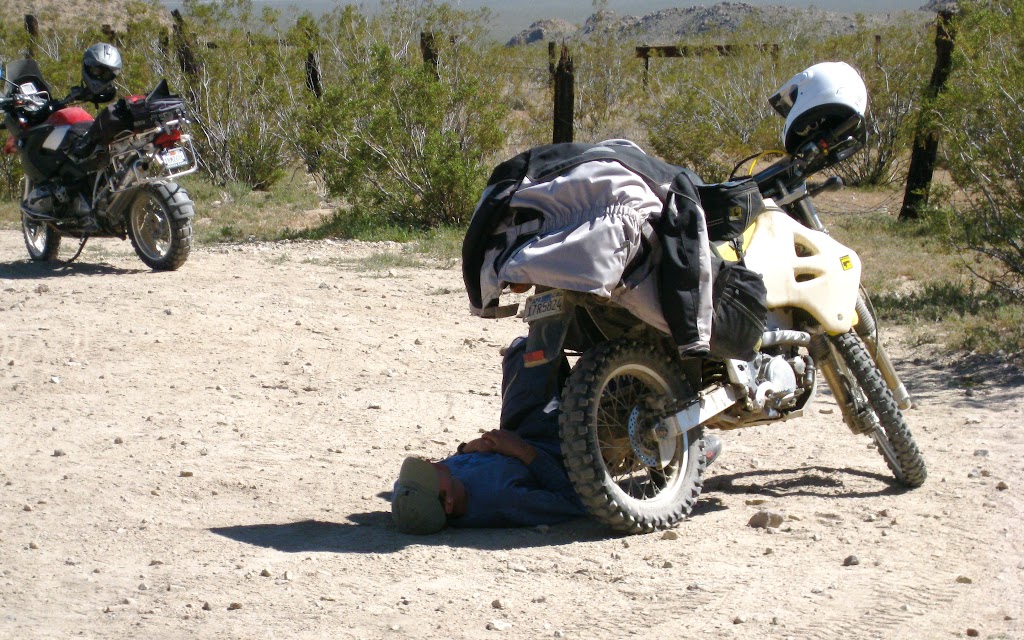
By the time we reached Marl Spring, we were beginning to look a little tired. We took a long break, resting and exploring. There is a large granite arrastra at Marl Spring – a circular rock ring in which a heavy stone was dragged around over ore, to grind it down. The mine entrance was close by – and full of water. There was water on the surface as well, supporting a healthy flower population.
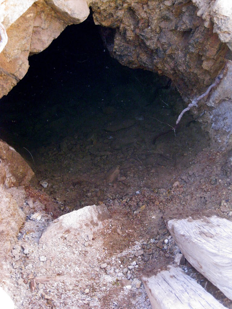
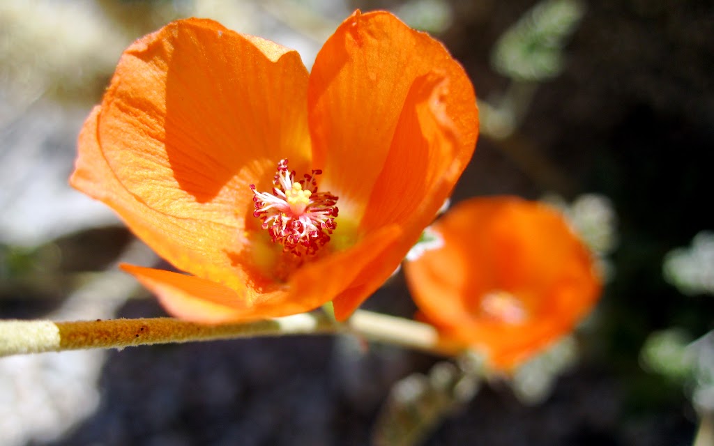
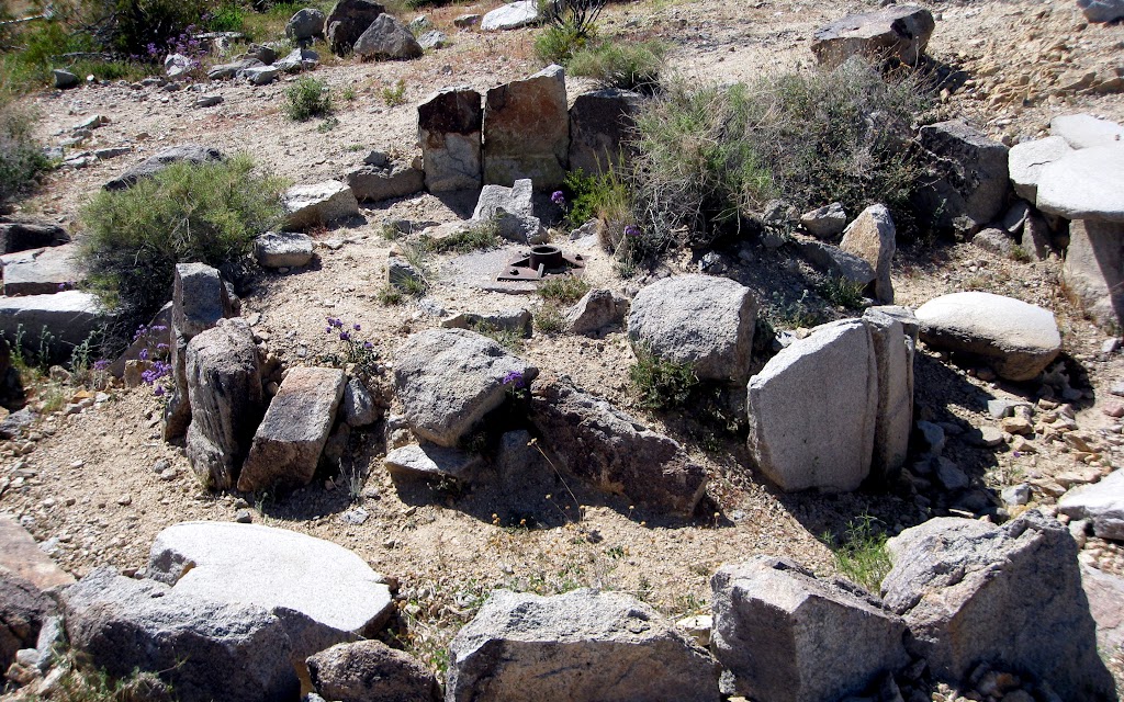
Back on the road, we discovered miles of a terrain we had not encountered before; small whoop-de-doos – not sandy; very firm. This unending series of speed bumps kept our pace down even on the long straight sections of trail.
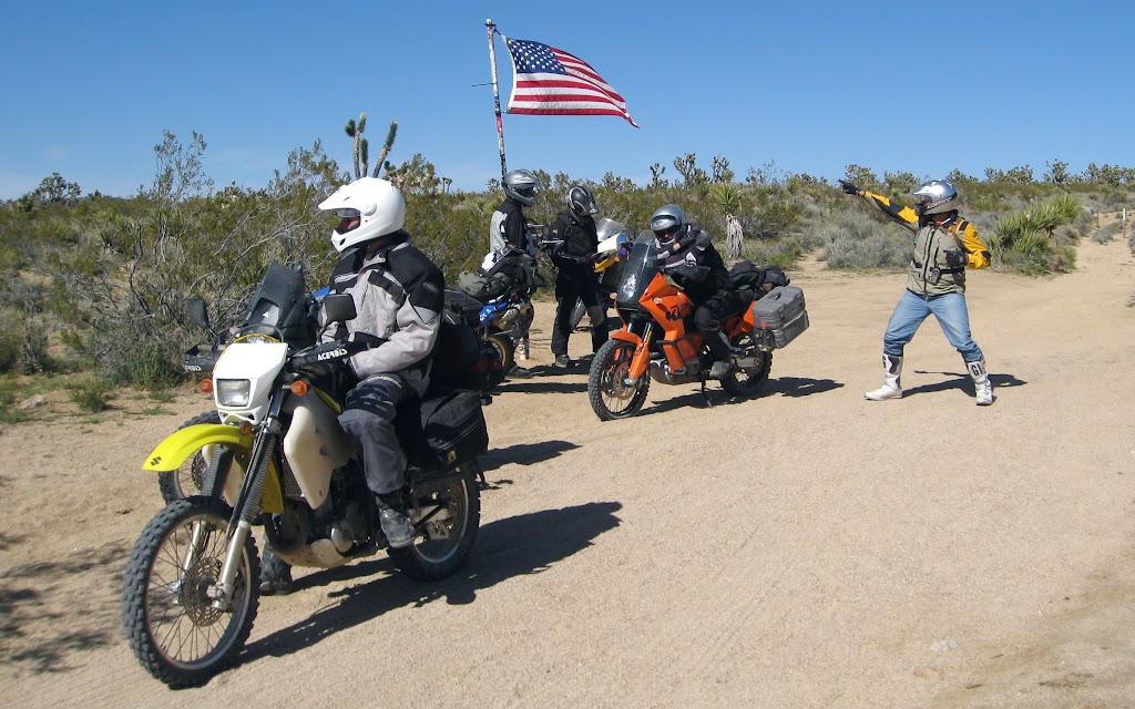
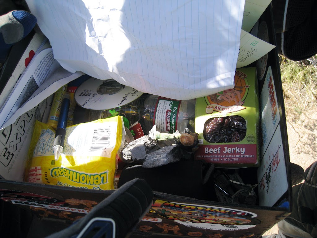
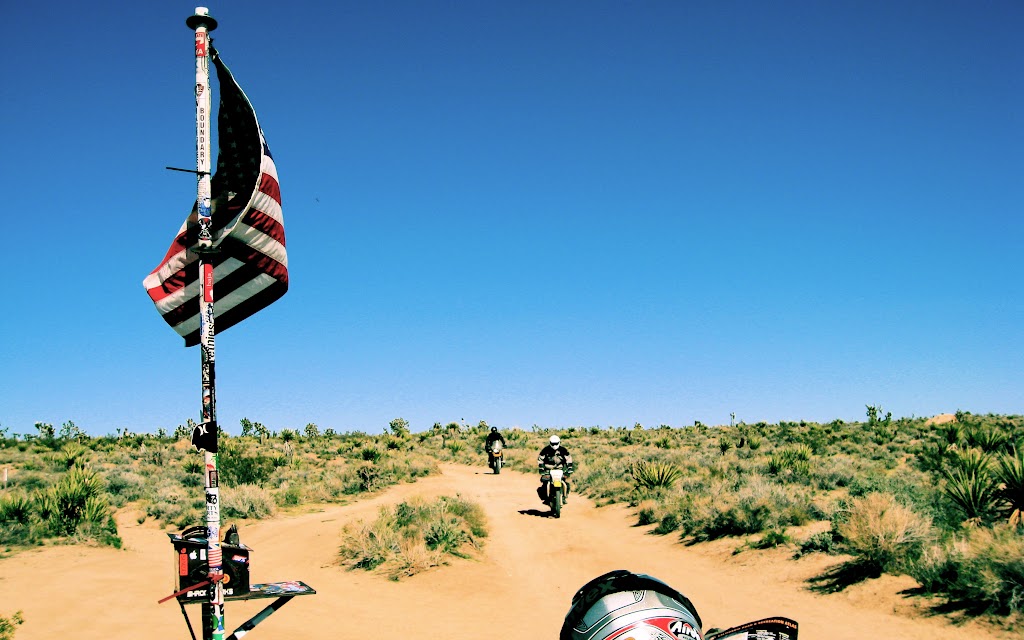
The next odd desert thing- in- the- middle- of- nowhere was… a mailbox. Extremely sturdy, set with an American flag on heavy metal poles, the box is more of an emergency supply / registration box. We read some of the entries, then made our own, and dropped in a PowerBar for good measure. By this point Jim & Lunchtime were more inclined toward an American Flag over Bob’s Big Boy, but Captain America – any flag, any where.
“Westerly, beyond The Mailbox, there be Sand.”

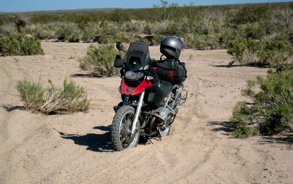
We found ourselves in a wash. This was serious: We had been dinking around in the sand for two days; it seemed serious enough at the time, but this… This was feet deep. It wasn’t just decomposing granite pebbles; it was sand.
The first bit was the worst. The trail dropped off the hardpan into deep sand and simultaneously made a hard left turn. Not only can I not turn left, but I very can’t do it in deep sand. And I can’t ride in sand at speeds slow enough to turn sharply, anyway.
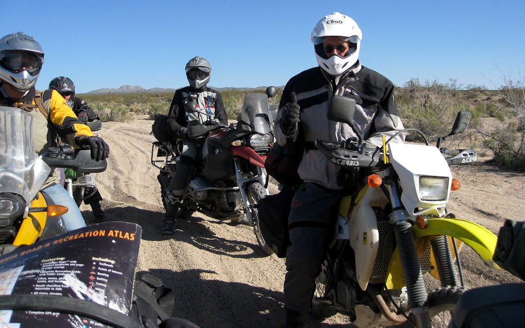
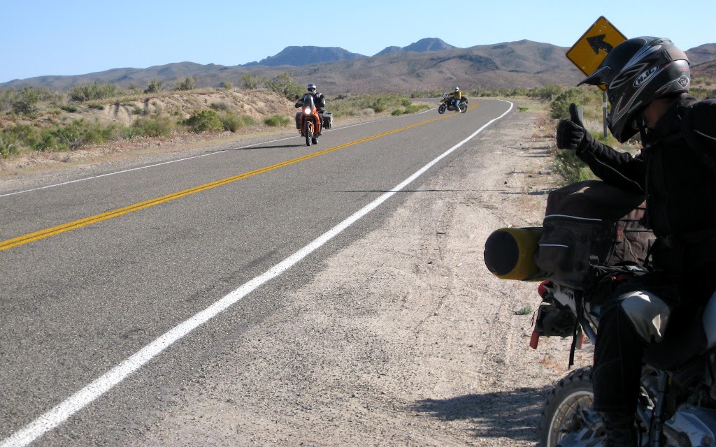
Working into this took a bit of time. And energy. We were getting the hang of it (the trail straightened out at least), but when we discovered that this section was paralleling a paved road, Jim and Lunchtime opted out. When the trail and road met, they decided they had had enough. We were in fact not 10 miles from Baker; Jim & Lunchtime took the slab into town for a hard-earned break, and a little air conditioning; we had been descending for quite some time and it was getting hot again.
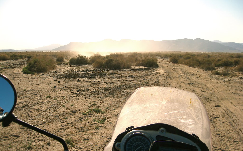

After a wave goodbye, the rest of us continued on. Blessedly, the sandy track soon gave way to firmer ground. Then, suddenly, it gave way to silt. Dust rising in the wind made me think of the riverbed section of DSR 12. What were we in for?
But the silt was shallow, and as we moved out into it, it became a little damp in places, and firmer. A broad flat featureless plain appeared in front of us, cut by the obvious track ahead.
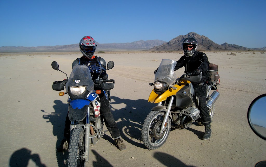
Soda Dry Lake.
It was 5 pm. Our plan was to meet the others in Baker which, away north, we could just see at the far edge of the dry lake. The GPS showed our east-west track bisected midway through the dry lake by a north-south track heading straight into town.
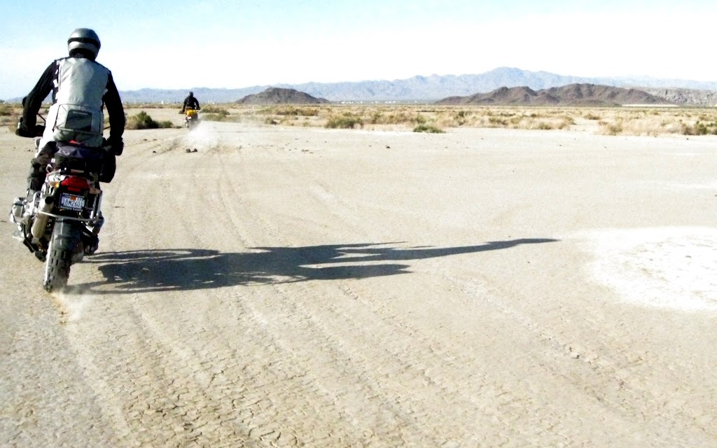
We struck out across the playa. It was firm, slightly soft in places where it was still damp. Weather-wise, our timing was perfect for riding on this surface. Sure enough, midway across we found an obvious right turn. We headed north, building up a full head of steam on the broad, open terrain.
A little orienteering as we neared the I-15 corridor led us to within spitting range of the giant Baker thermometer. We were tired, elated, hungry, ready for a big meal followed by another night under the stars, and looking forward to another day of great riding!
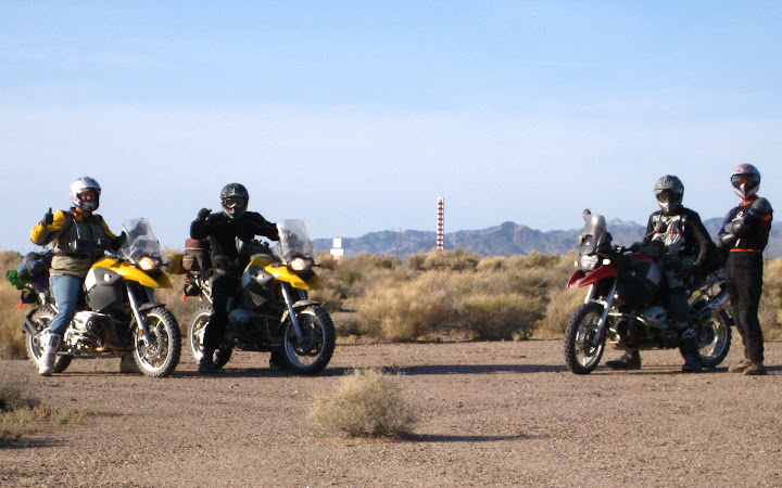
In town, we discovered that Lunchtime and Jim had indeed found their Bob’s Big Boy with the flag over it, and were just finishing an early dinner.
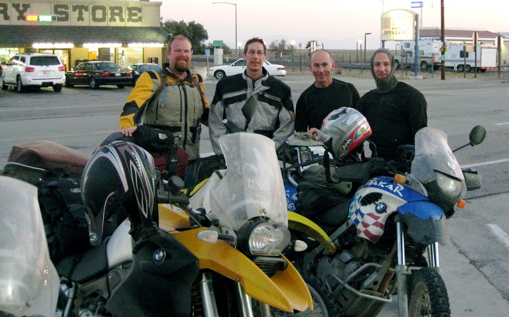
Jim had had enough of sand at that point, and the thought of a shower was mighty appealing as well – especially in view of the fact that the next day would actually put us in the Mojave riverbed itself – comparatively, today’s sand was dirt. He headed for home, as did Steve, who was torn between the amazing ride, and his amazing family who he had not seen much lately (in fact, I hear tell that a few weeks later, they all went and drove the Mojave Road together in Steve’s Jeep). Lunchtime – never one to miss a meal – joined So Cool & Capt. America & I at the Mad Greek, but after dinner, the sun disappeared and so did he, heading back to Apple Valley.
And then there were three.
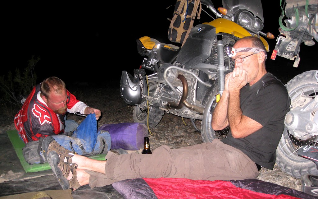
We left town for public lands, and shortly found an ideal spot: Quiet, overlooking the playa, inundated by stars. We circled the horses to help fend of the wind; the evening was cool. The Captain provided the nightcaps, while So Cool played a haunting harmonica tune in honour of missing comrades – followed closely by taps.
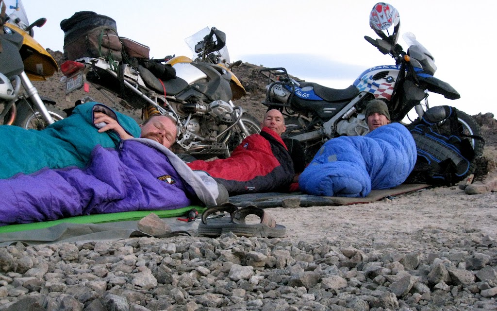
We were awake before the sun (So Cool played Reveille, I think), and more or less happy about it soon after. Day broke full of promise. We packed up and re-visited Baker for a quick breakfast before departing. The Mojave beckoned.
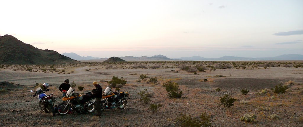
It was beautiful; more striking than yesterday’s clear sky were the white puffs scattered across such a field of vibrant blue as I have not seen in many a day. We re-crossed the playa, and soon discovered weird thing-in-the-middle-of-nowhere number four: A pile of rocks.
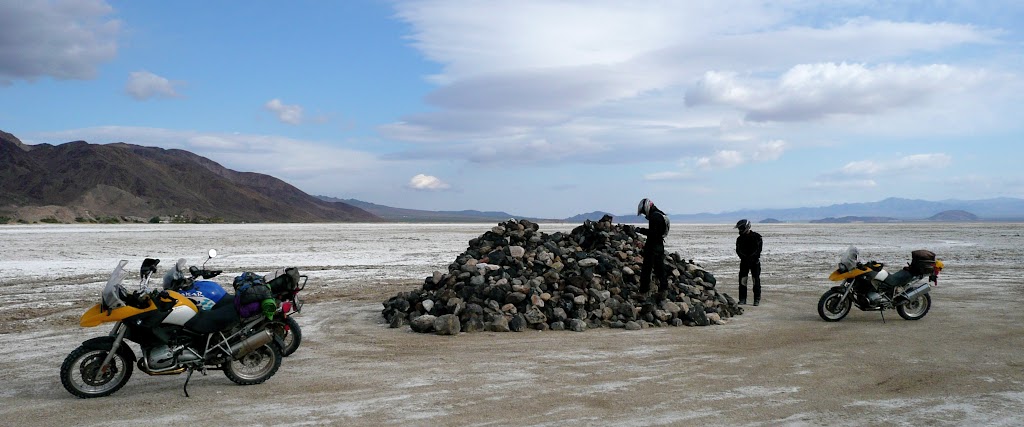
There was even a commemorative plaque (That's Zyzzyx in the background, btw):
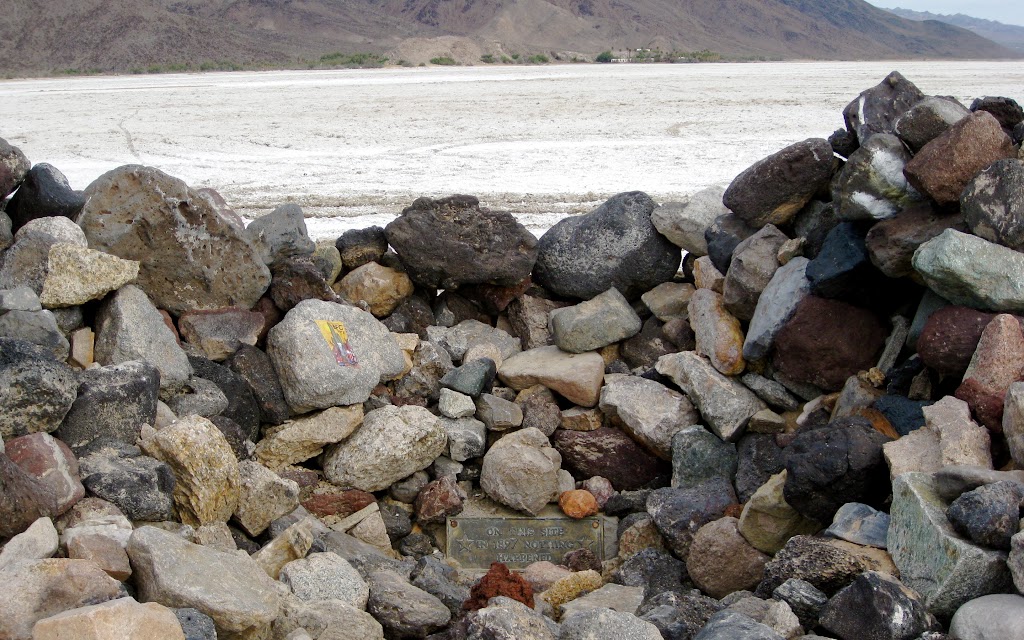
Sadly unprepared for such a find, we vowed to return one day, bringing with us each a suitable addition.
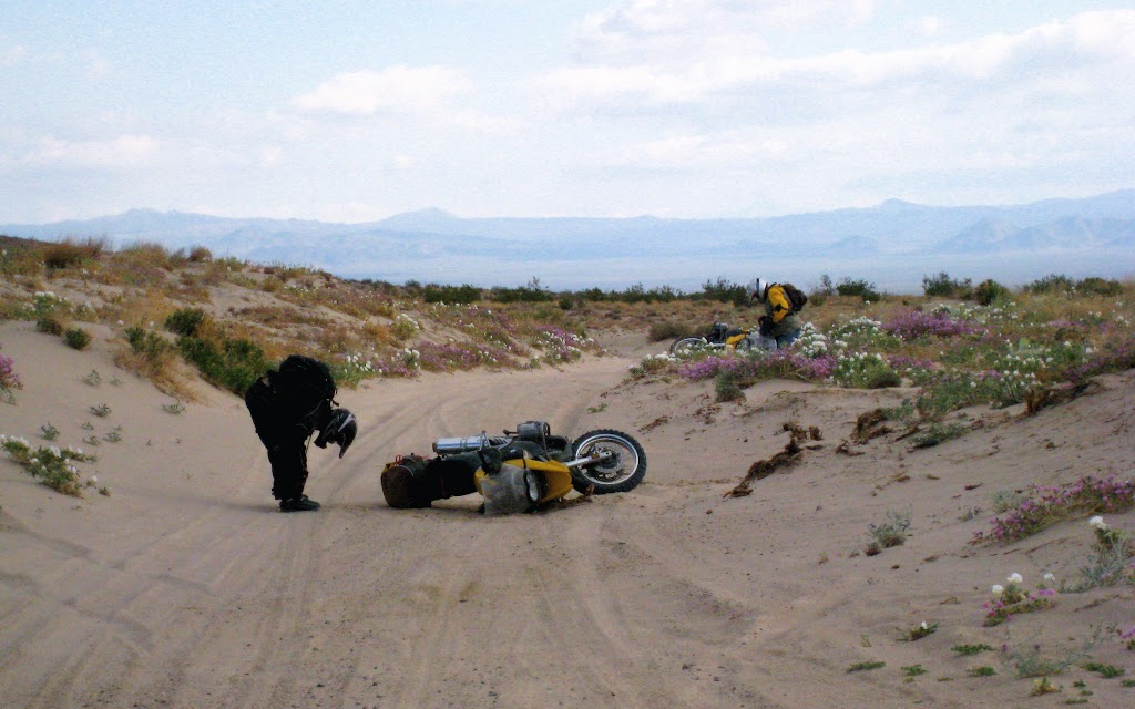
Emerging finally from the dry lakebed, we hit our first drift of fine, wind-blown, Mojave River sand. I was pleased to find it less challenging than expected. I looked back to watch the others come through:
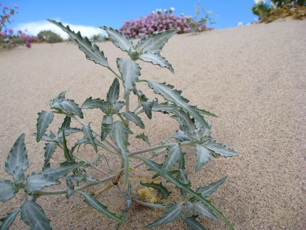
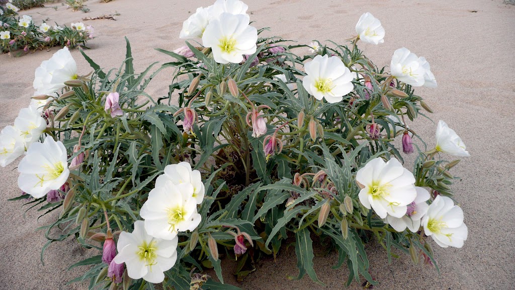
“I was overcome by the beauty of it all,” Explained So Cool. The Captain harumphed. “I was overcome by seeing So Cool fall over.” He was not amused. Personally, I think his giant magic boots failed him – although it was an ideal place to stop: The flowers were quite lovely.
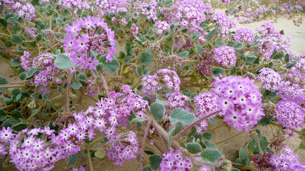
We got under way, and things firmed up again. It soon became clear, though, that we were merely climbing over a low broad saddle in the hills. Suddenly, we saw this:
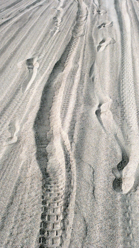
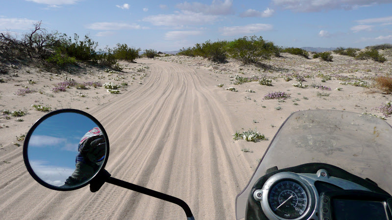
Into it a ways, I stopped to see how the others were faring. So Cool had gone down again: Not so cool. Once up, he approached slowly, doing the infamous dual sport dog paddle. He left tracks in the sand like a giant lizard dragging his tail.
His confidence was shot. So Cool hung his head. I think I heard a moan. Then, suddenly, along came the Captain. One look and we could see he had Got It.
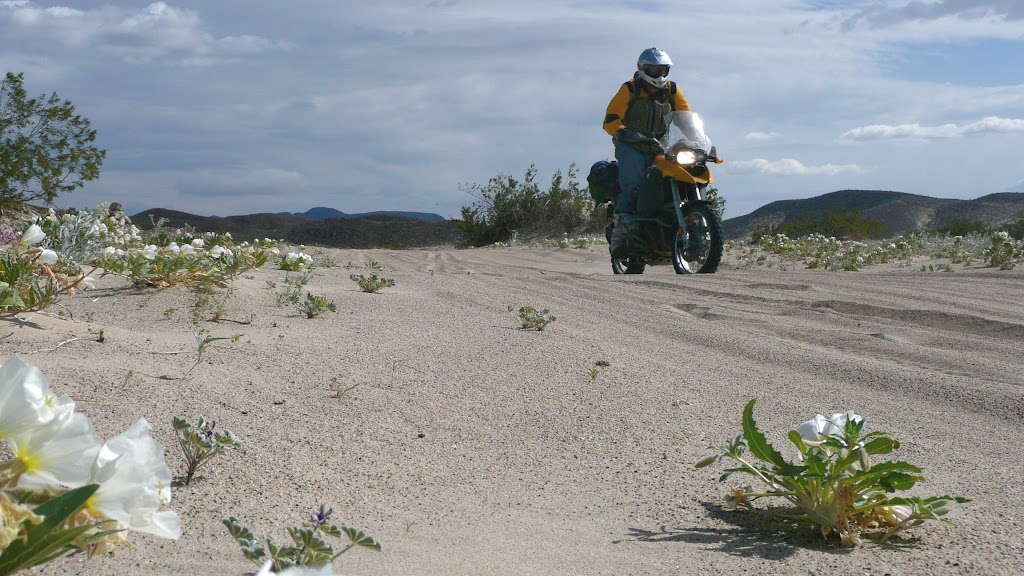
“I ain’t stopping!” he yelled, passing us in ideal riding stance, up on the pegs, at a good clip. It was like a tonic. Don’s head jerked up like somebody just whistled his favourite tune from before the System collapsed. He re-started. He killed the ABS. He hit the throttle. In moments, he was past Captain America, floating over the sand at high speed, the Captain giving chase close behind. Watching two super heroes sailing a couple of R1200GSes
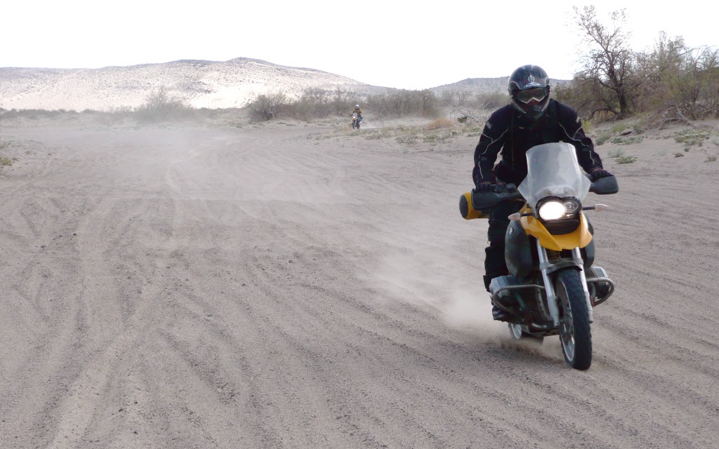
over windblown sand is – let me tell you – awe-inspiring. Whatever the reason, these two were In The Zone.
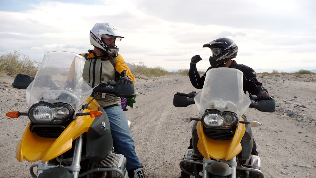
We positively swooped down the Mojave River, stopping to laugh and route-find on the firm bits, carving turns in the sand in the mid 30 mph range between times. Finally, the trail became rockier. We halted to celebrate what felt like the passing of some unseen barrier. The last few miles had surprised us, turning into an amazing watershed experience. We felt lighter, freer on the bikes than ever.
Ahead, Afton Canyon.
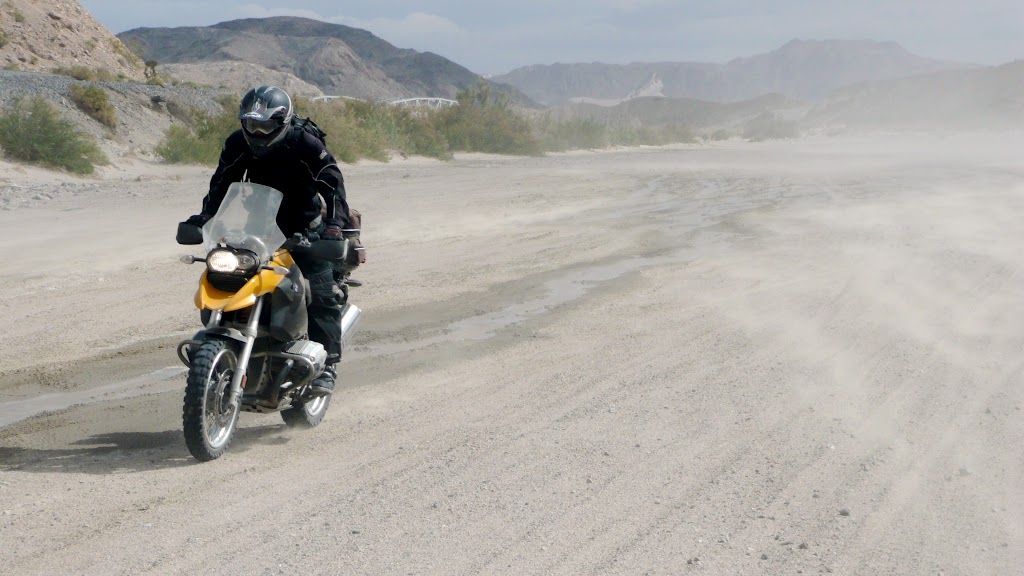
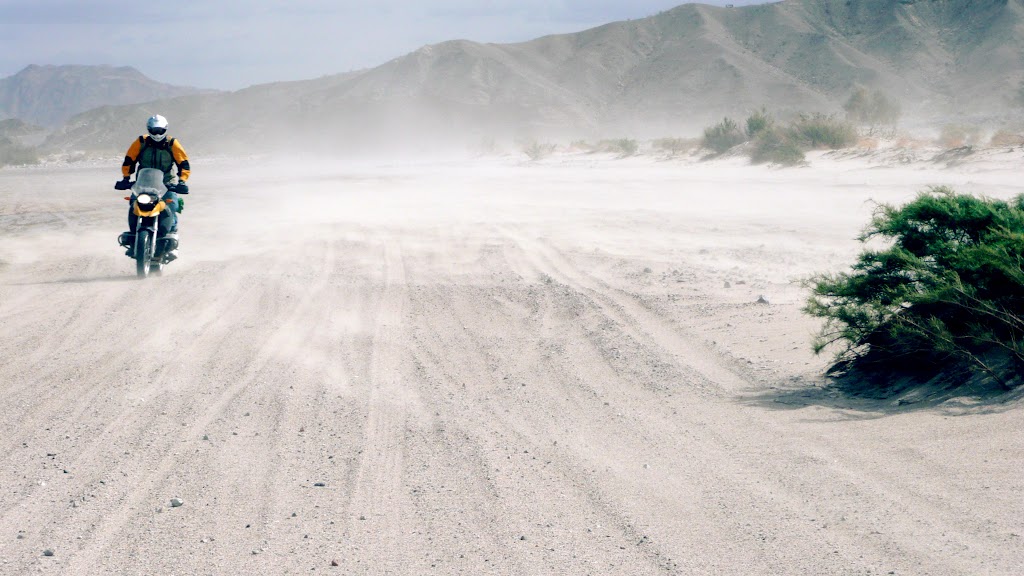
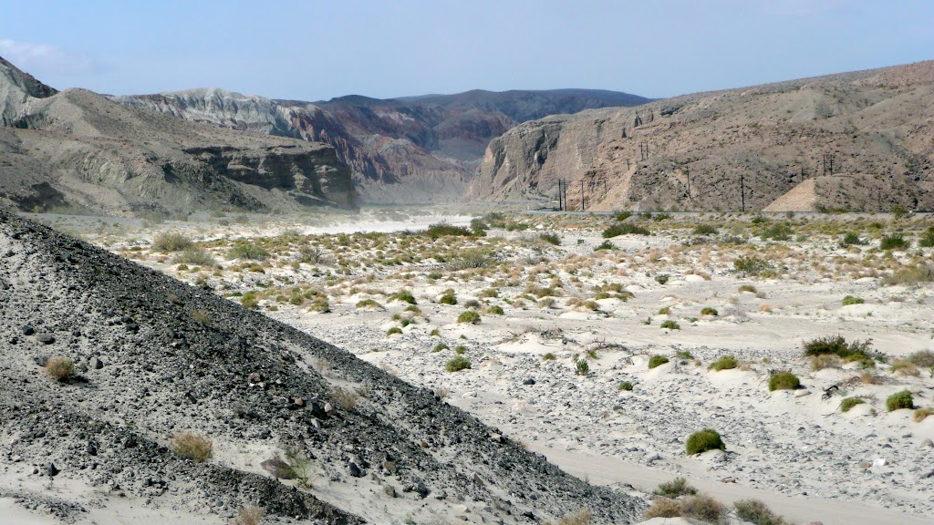
The wind was ripping through the canyon that morning. This truly was like the river section of DSR 12. And perhaps because of DSR 12, it didn’t look intimidating; it looked fun.
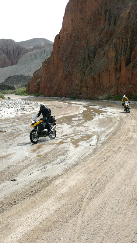
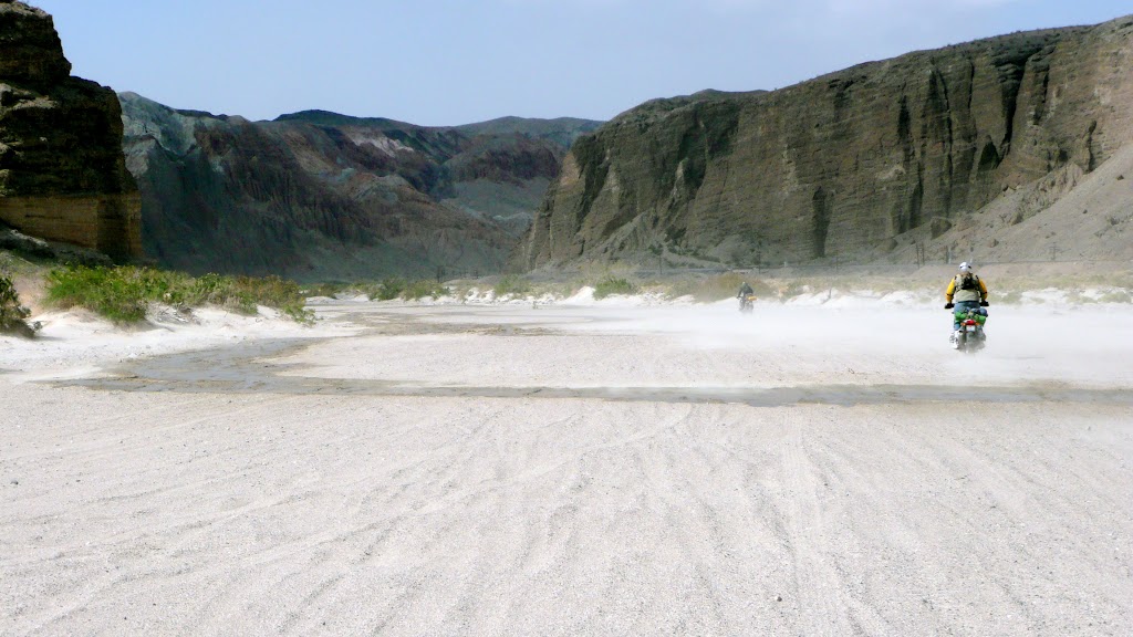
We accelerated into the narrow canyon, surfing sand, throttling over multiple shallow water crossings. It was wonderful riding. As we got further west, the canyon got tighter. We began to follow a railway right-of-way. Here we hit the last thing one might expect in the desert; a deep water crossing. We had a little fun with it before carrying on. The air was quite cool; it wouldn’t do to get too wet.
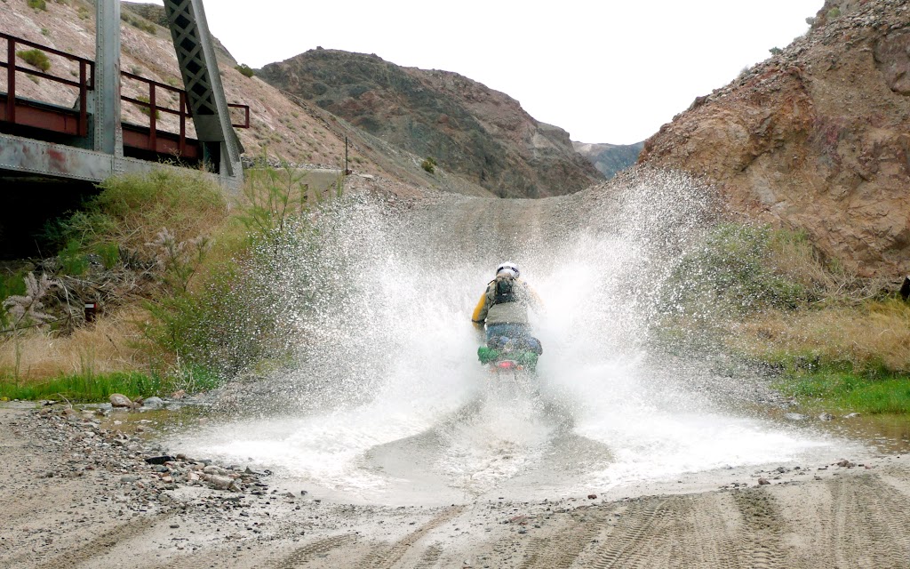
A short way on, however, we came upon a much broader crossing. I went in first, much too quickly. Immediately, the water knocked my right foot off the peg. As I struggled to replace my foot, I became disoriented, quickly realizing that it was because the water was spraying up over my windscreen straight into my open helmet, and inundating my goggles. I could see nothing at all.
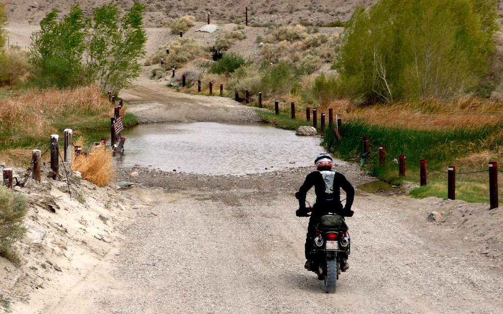
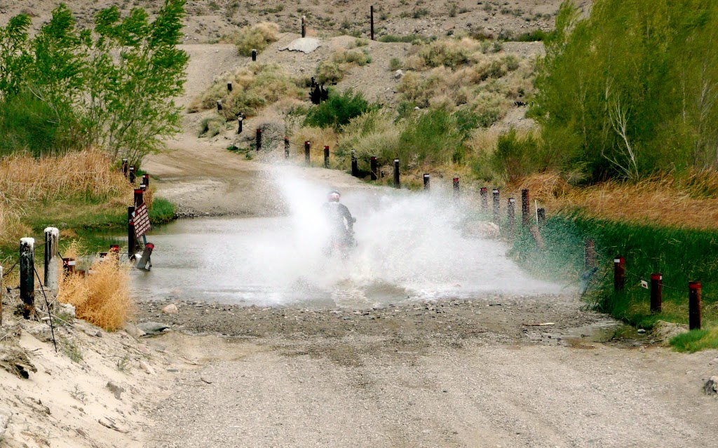
I backed slightly off the throttle, not wanting to bog down in water I could feel was up past my knees, and managed to chug into shallower depths on the far side. Vision returned as the water subsided, and feeling rather stupid I drove my completely soaked self to the side of the trail and stopped there, dripping in the cool morning air and trying
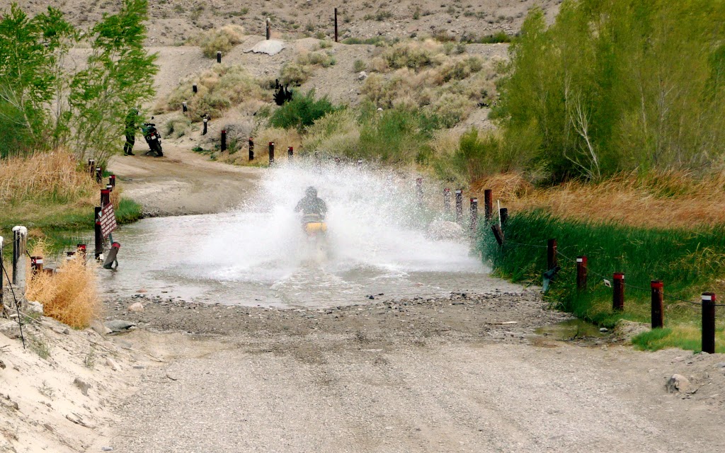
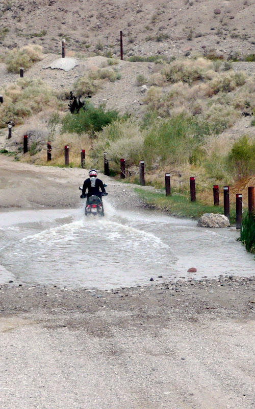
not to let my clothes touch my body.
There wasn’t time for me to suggest to the others to cross much slower before So Cool was on his way. I waved to him to slow down, but by that point, I’m sure he couldn’t see me…
One small shortcoming of the R1200 GS is that the air intake is rather lower than that of the Dakar…
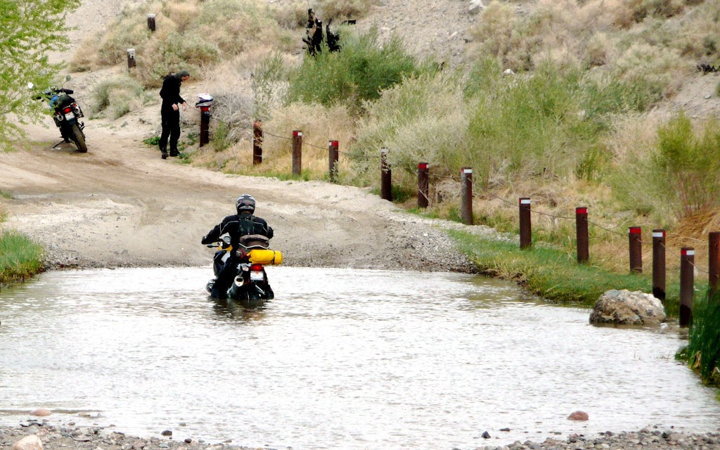
Don’s huge bow wave eventually came down, revealing a somewhat sheepish-looking rider sitting astride a stalled GS, thigh deep in water just past the middle of the crossing. I graciously offered to stay out of his way and dry off as he pushed his bike to shore.
We both told Capt. America to take it easy, but he put his faith in those magic boots again. I don’t think they work when wet.
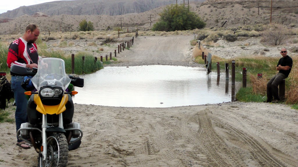
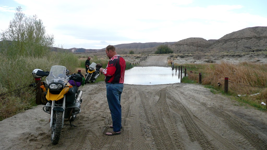
In short order, the roadside held three drenched riders, two of whom stood beside non-starting motorcycles. It was discouraging.
As the shock eased off, we set to solving the problem: Water in the cylinders, and likely, water in the oil. The first part is fairly easy; remove the spark plugs, crank the engine.
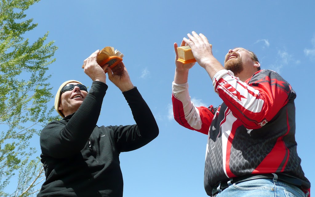
Of course, the tools needed for reaching the sparkplugs are somewhat specialized… As it happened, there was a BLM camp nearby, with several OHV enthusiasts in residence. In short order I rode to camp, borrowed the necessary items (now on the official list of GS-related tools to bring on adventure rides), and returned. Meantime, the lads wore away the time happily drying out their air filters.
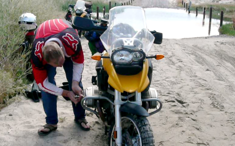
Paul’s bike had sucked in a lot of water: When the first plug came out, water poured out of the cylinder. When he cranked it over, water shot all the way across the road, several times.
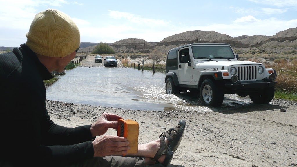
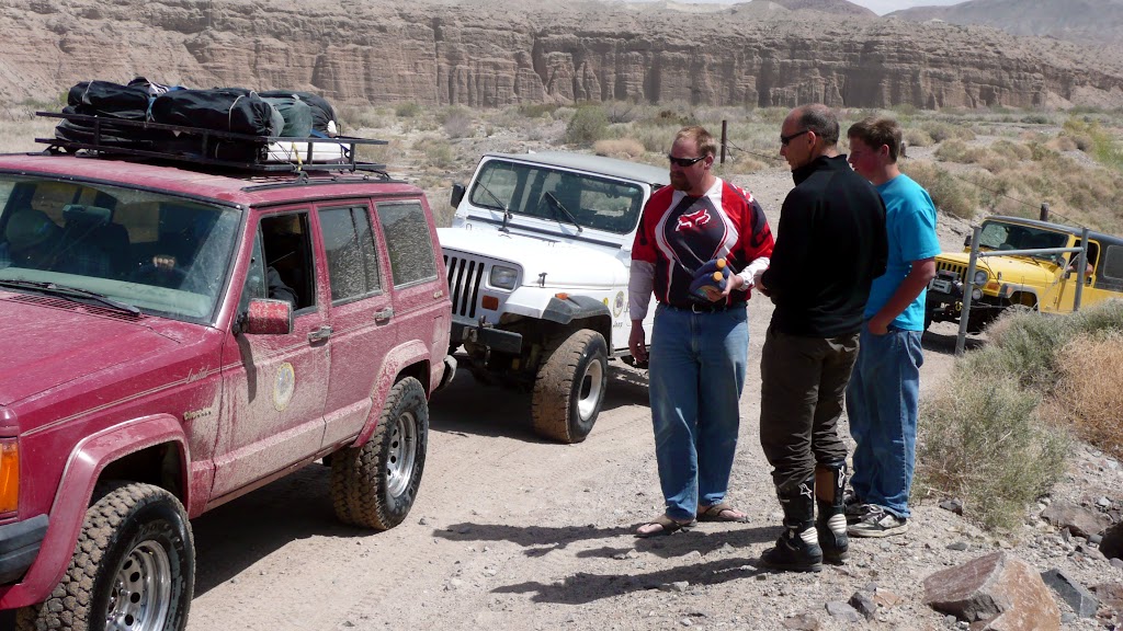
Once cleared of water the bikes would start, but a glance at the sight glasses told us that the oil was full of water and would require changing. We spent the next couple of hours buying the odd quart of oil from passersby, forlornly airing out filters between times.
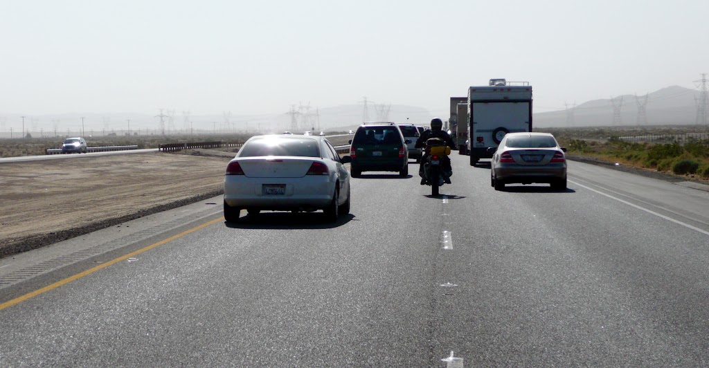
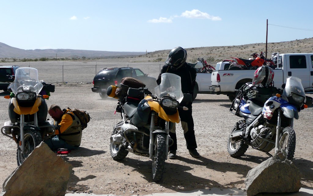
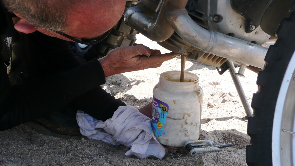
With enough oil, and enough empty containers to put the old oil in, it was changing time. Out came four quarts of pale, disgusting chocolate milk; in went fresh oil. Once changed, we detoured off our planned route to a store on I-15 where we bought enough oil to completely top up. The escapade had eaten up a serious chunk of our last day. Although I had at least another 70 miles of mind-blowing terrain planned for us, we opted to call it quits, and limped home in I-15 traffic.
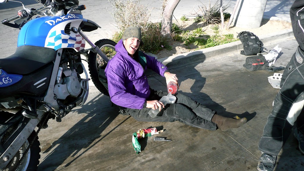
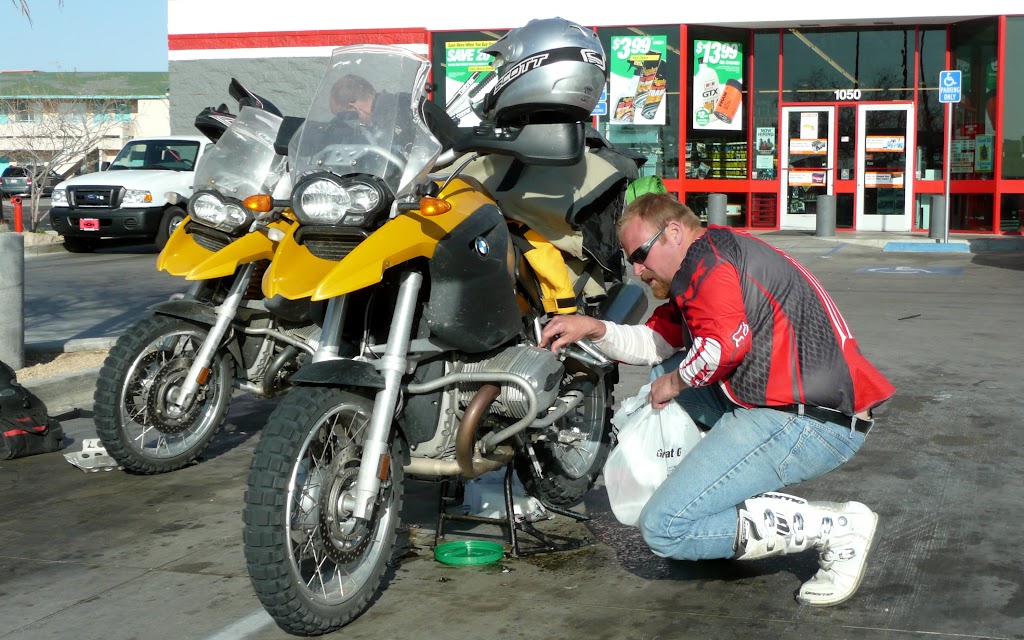
At Barstow we stopped by an auto store – the oil looked bad still, and Paul wanted to change his once more. Some travelers we had met on the Mojave Road had shown up again when we hit I-15, and by luck they showed up here as well. Seeing that Don and Paul were busy and I had nothing to do, they handed me all the fixings for a Pink Screwdriver, and wished us well. I dutifully set up bar against the front wheel of my trusty Dakar and watched the entertainment.
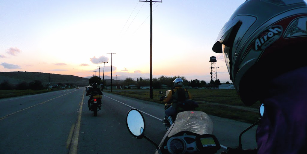
As it happened, the oil in Paul’s sight glass looked milky, but the oil that came out of the engine looked perfect. So Cool opted to skip the second oil change, and we headed for the Pearblossom Highway on our homeward journey.
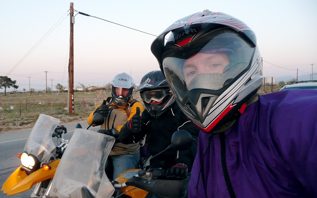
We split off one by one as we got close to our homes. All in all, it had been an epic three days. Even the Crossing Fiasco had been a good thing; it’s only an adventure when things stop going as planned. We had quite an adventure, learned immensely – and we have miles of reasons to return to the Mojave Road.
 As a mile-post to mark this psychological sea change, I had chosen the Apple Valley airport as our lunch stop – and I had planned about 50 miles of unpaved riding beyond; from the runway access road to a point on Old Highway 66, well along on our route to Three Corners and the Avi Casino perched thereon.
 After our meal we helped him pack up, and began our run through the desert.
 We spent quite a while on the playa, experimenting with high-speed turns, comparing
  acceleration curves, and jumping off heaps of dried mud. Traction was imperfect, but in such a consistent way that it was ultimately quite reliable. Forty-five minutes of playa play left us feeling pretty pleased with ourselves.
 imagine an improved graded dirt road, but the dirt particles are mostly sharp-edged rocks, fist- to helmet-sized. This surface was partially stabilized by the soil below, but for the most part, it was just loose rock. The reason it was so hair-raising is that the first several hundred yards were more or less normal dirt road, and being as it appeared to go on like that, straight as a die, for miles, we rapidly accelerated to about 45-55 mph – and then found ourselves racing over big, sharp, loose rocks at fifty miles an hour, knowing
 It was like riding on a trail through a flowerbed planted in a sandbox.

 We found ourselves in a wash. This was serious: We had been dinking around in the sand for two days; it seemed serious enough at the time, but this… This was feet deep. It wasn’t just decomposing granite pebbles; it was sand.
 Soda Dry Lake.


0 comments. Click here to add yours!:
COMMENT ON THIS POST
Click Here